Zugspitz Ultratrail 107K Course 2026: Photo Recon, Trail Conditions and Route Impressions
This photo reconnaissance documents sections of the Zugspitz Ultratrail 107K course around the Zugspitze. The race covers 107 kilometres with 5,280 metres of elevation gain, starting in Garmisch-Partenkirchen on 19 June 2026.
We reconned the course between 19 and 27 May 2026. Current trail conditions are very good. There are still a few remaining snow patches above roughly 1,900 metres, but they are melting quickly. If conditions continue to develop in the same direction, large parts of the course should be mostly snow-free by race day.
This gallery is intended to help runners prepare for the Zugspitz Ultratrail 107K. It shows typical trail sections, alpine paths, climbs, descents, terrain conditions and key visual impressions from the course.
What these photos tell you about your race
This gallery is not an album, it is a course read. Four or five places decide your day here, and the photos show them clearly.
The high, exposed sections around KM 28 to 35 hold snow and late-melting patches the longest. You lose time here if you have not pictured the surface and the line in advance. The technical rocky descent in the Eibsee area around KM 14 to 15 demands full attention at night, early in the race and easy to underrate.
In the second half the section around the Partnachklamm near KM 82 takes you out of rhythm regardless of how you feel. And the final third from KM 91 onward is not a cool-down but real climbing on tired legs. Read these spots as a plan instead of a surprise and you run them faster and safer.
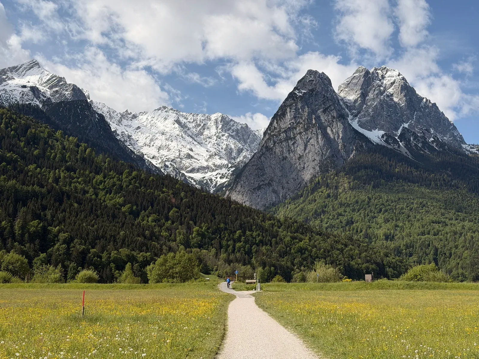
Flat opening kilometres on asphalt near Garmisch-Partenkirchen with views of the Wetterstein massif.
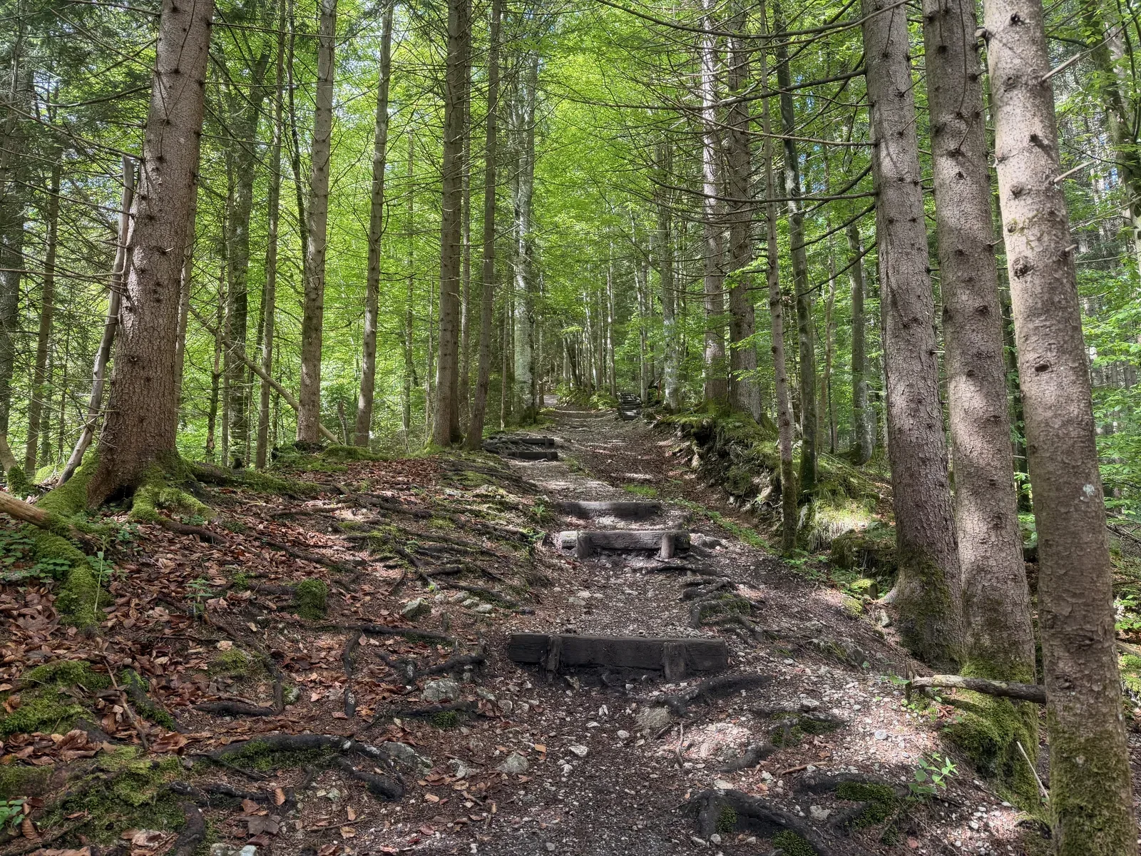
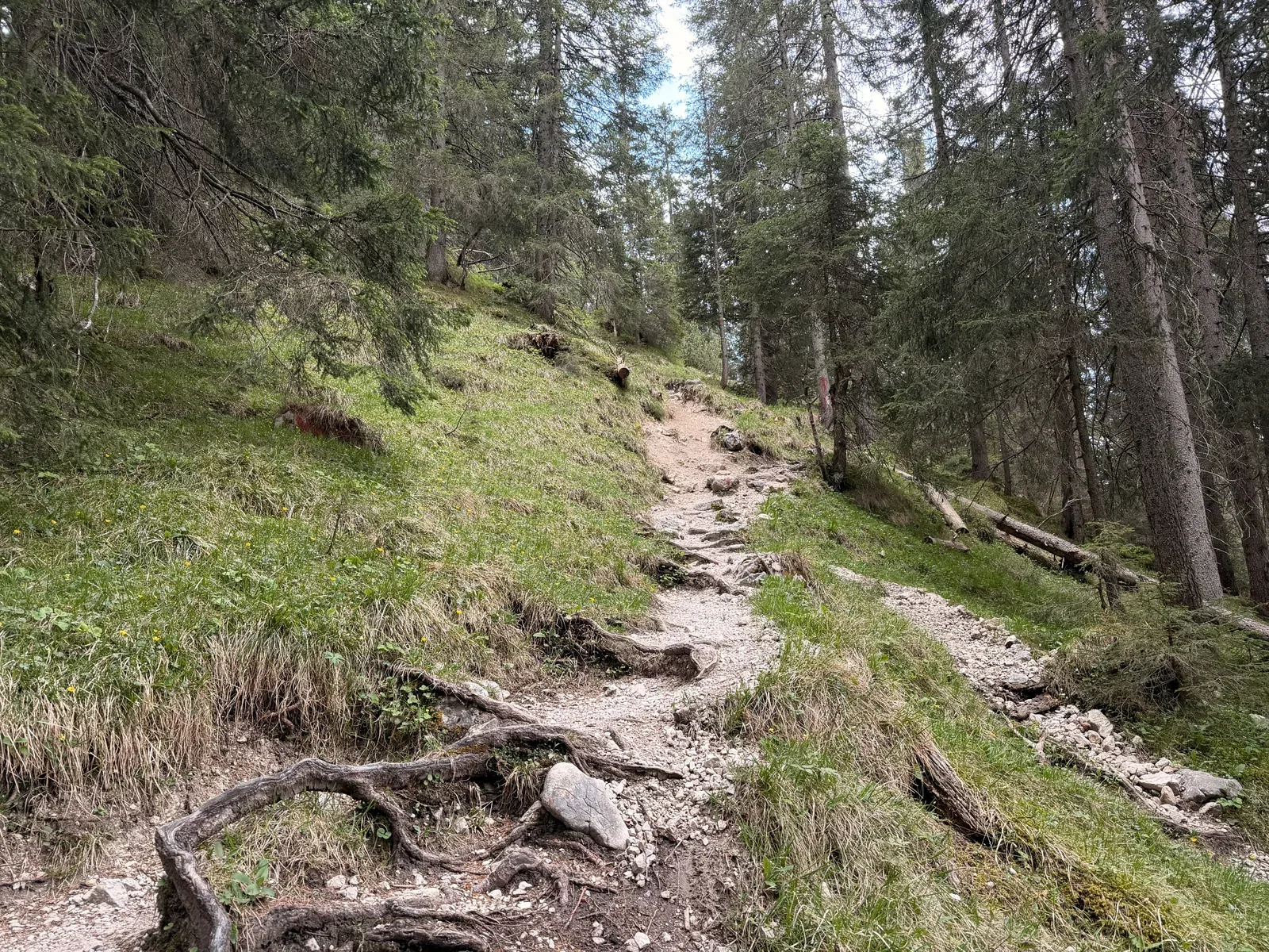
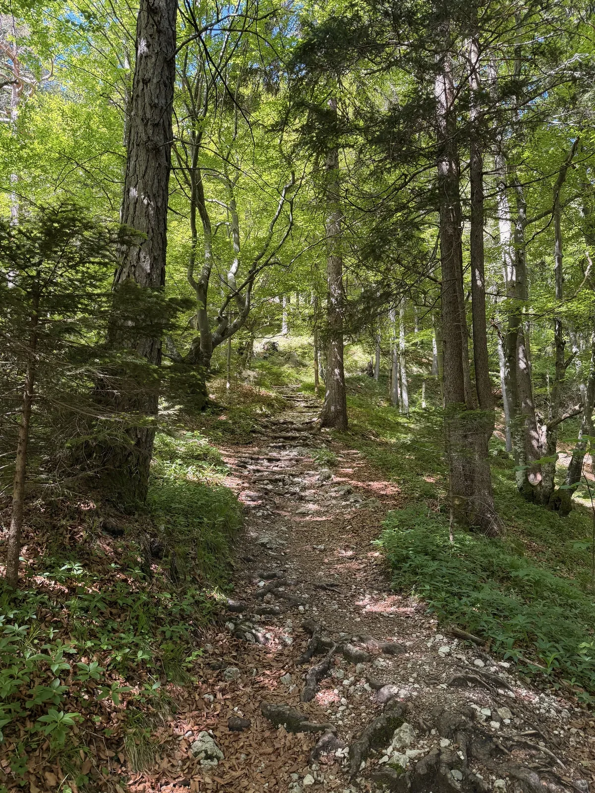
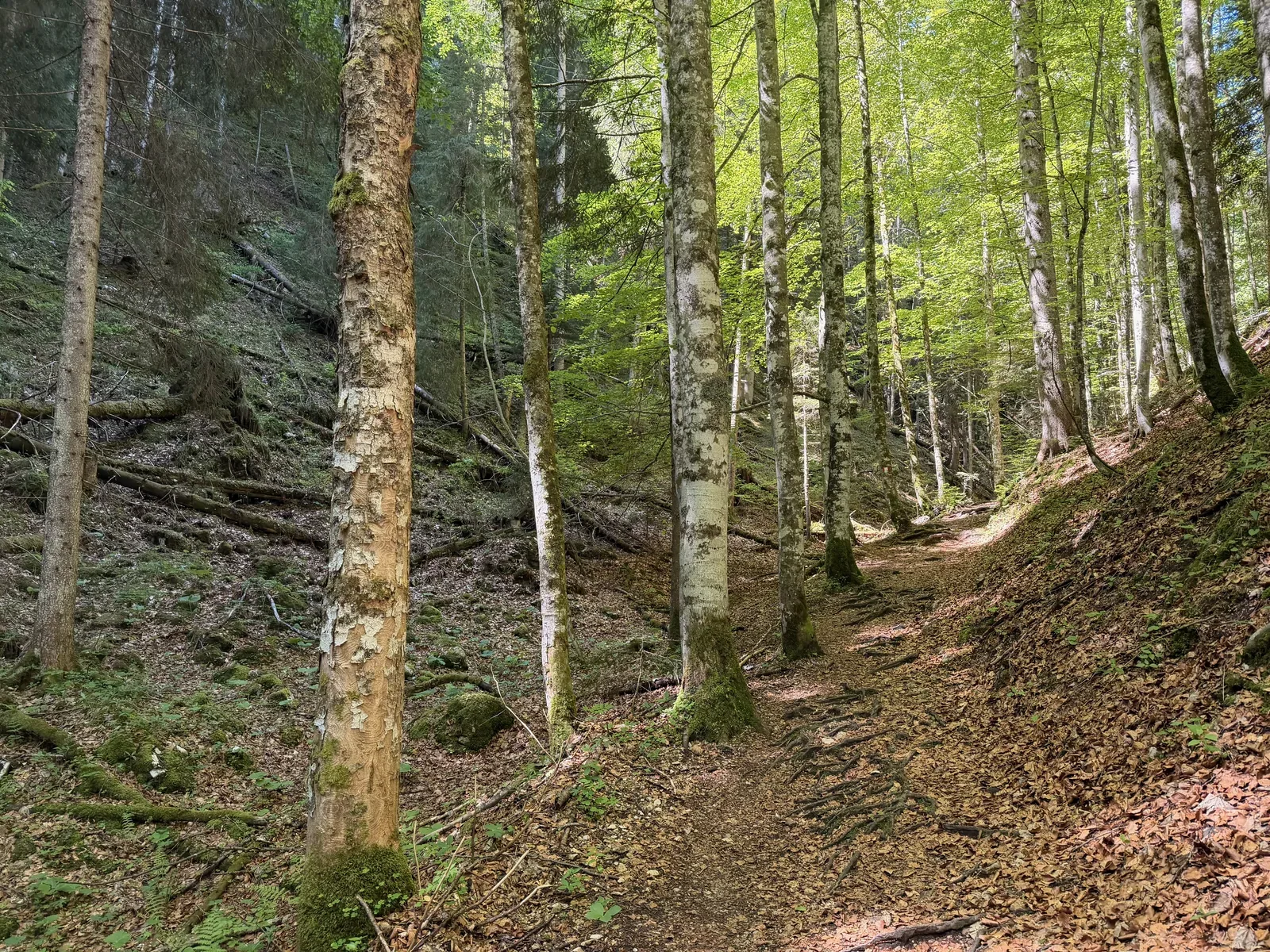
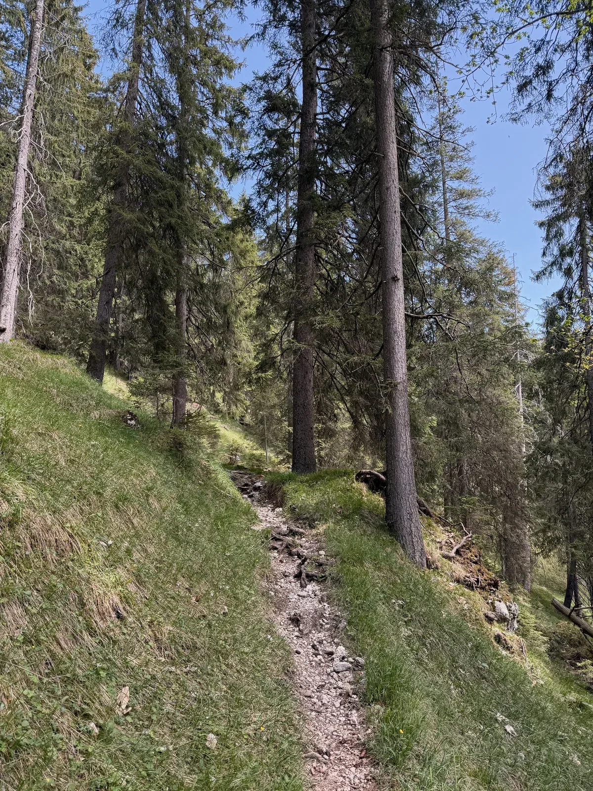
First longer forest climb on a narrow, rooty trail above Hammersbach.
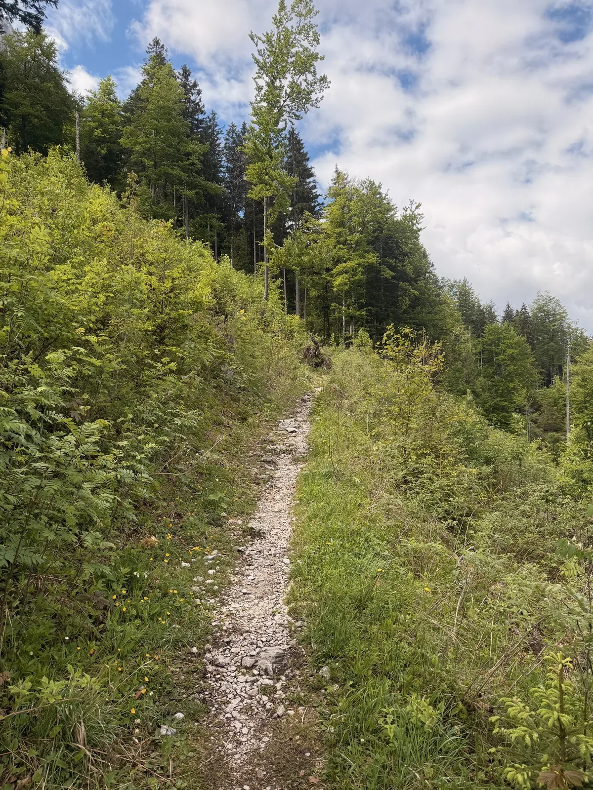
Transition from a wider forest road onto narrow singletrack toward Eibsee.
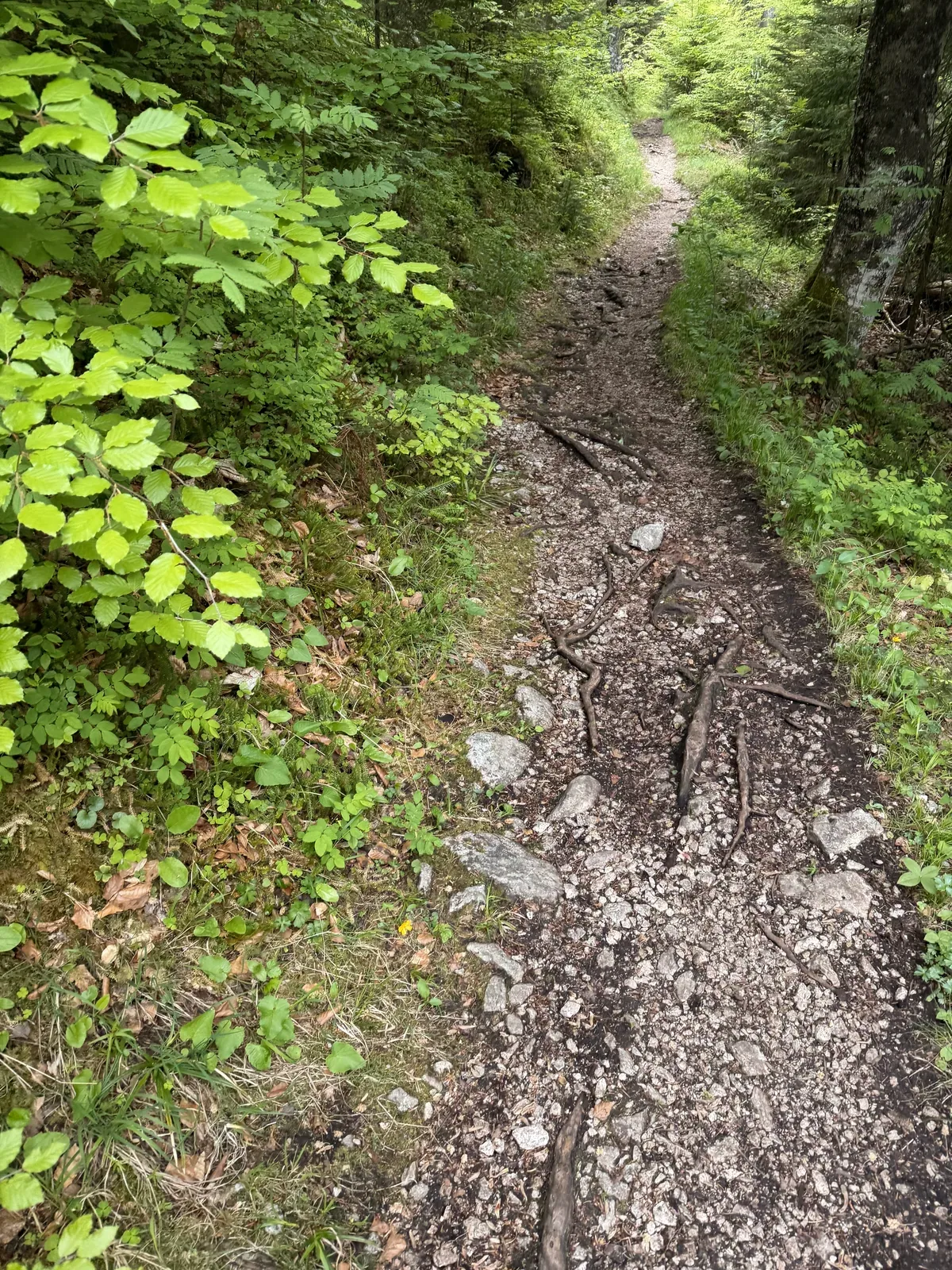
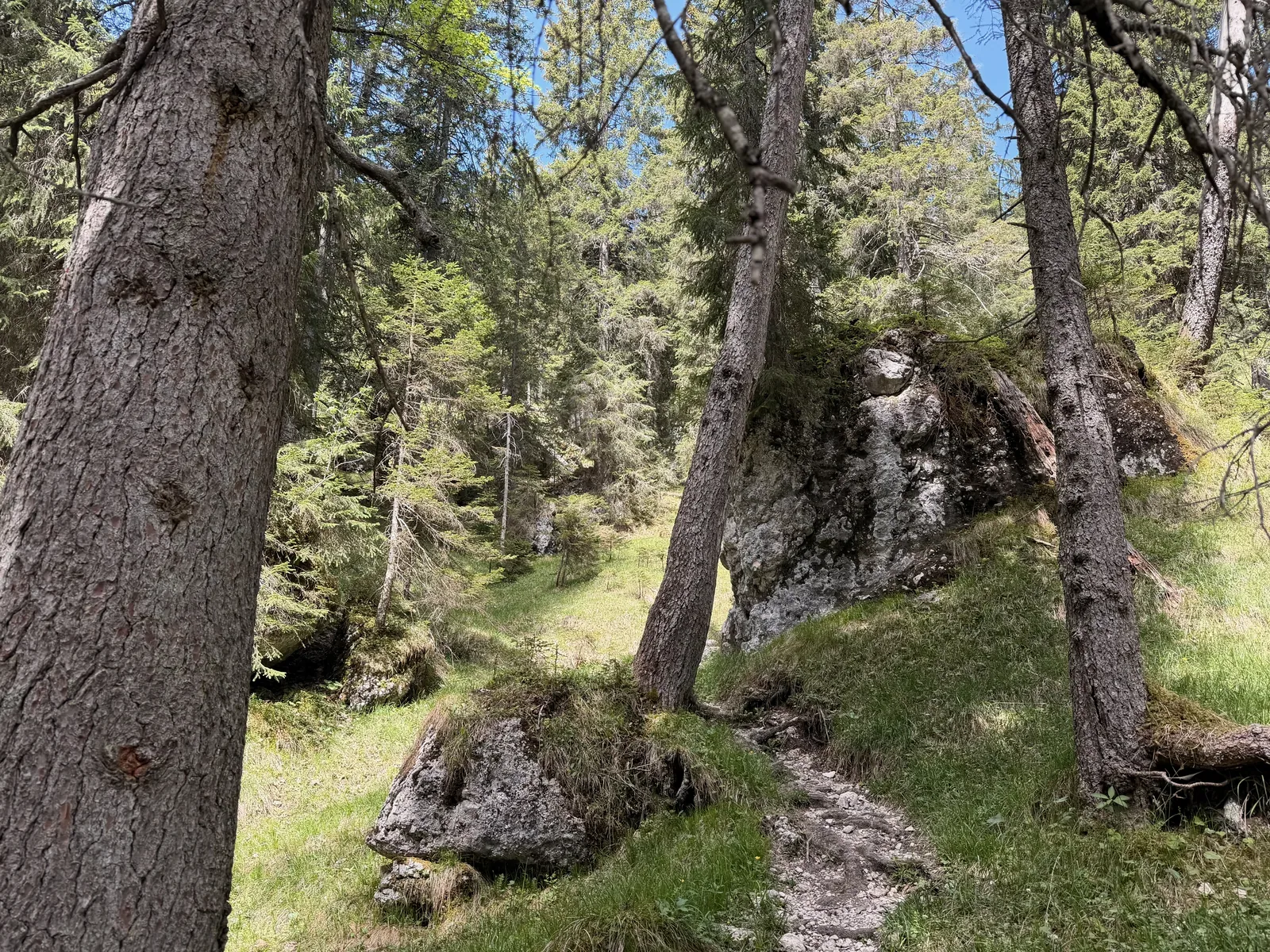
Technical forest trail with rocks, roots and damp ground before Eibsee.
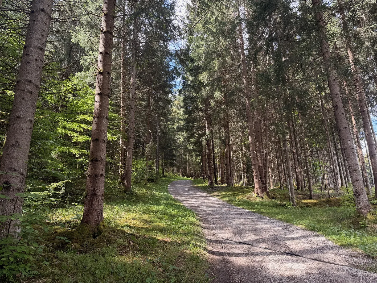
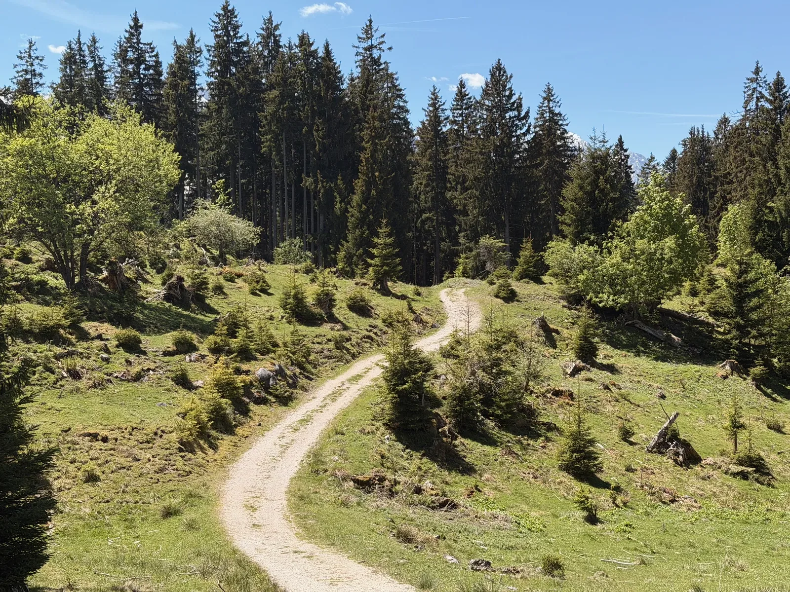
Runnable forest road before the course continues toward Eibsee.
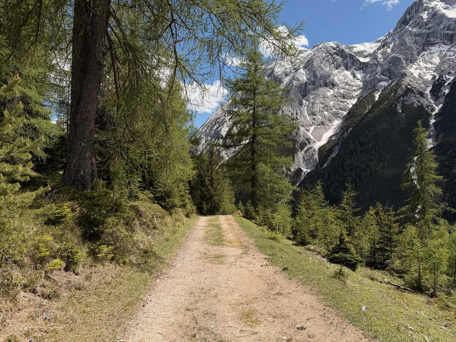
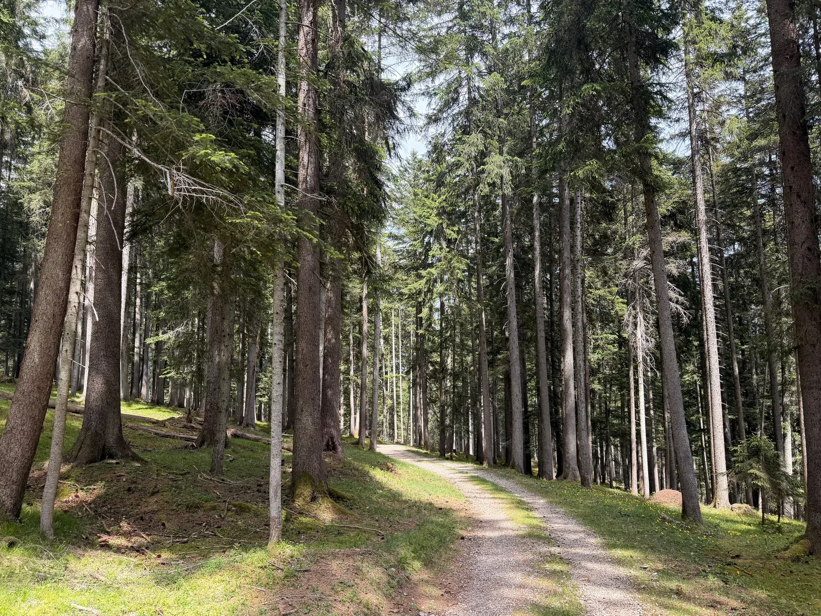
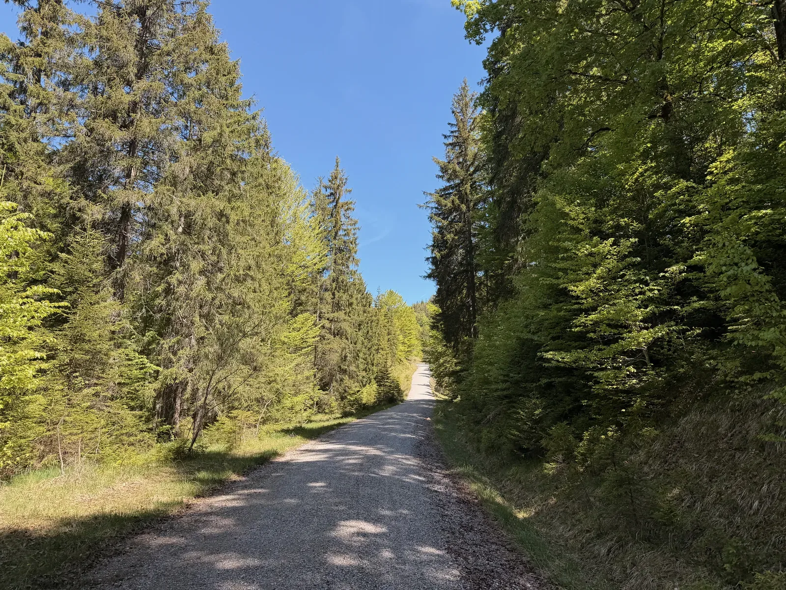
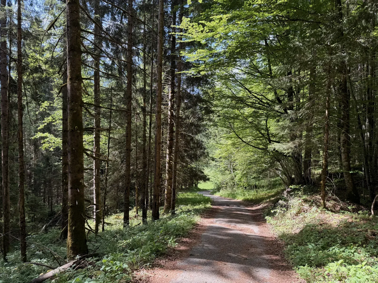
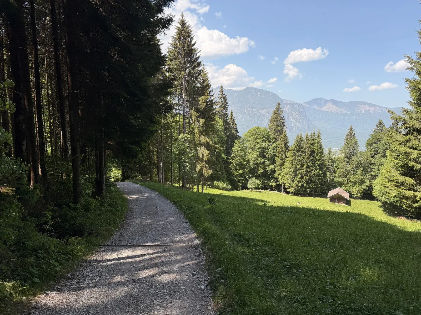
Wide gravel road through the forest with a gentle descent and views of the mountains.
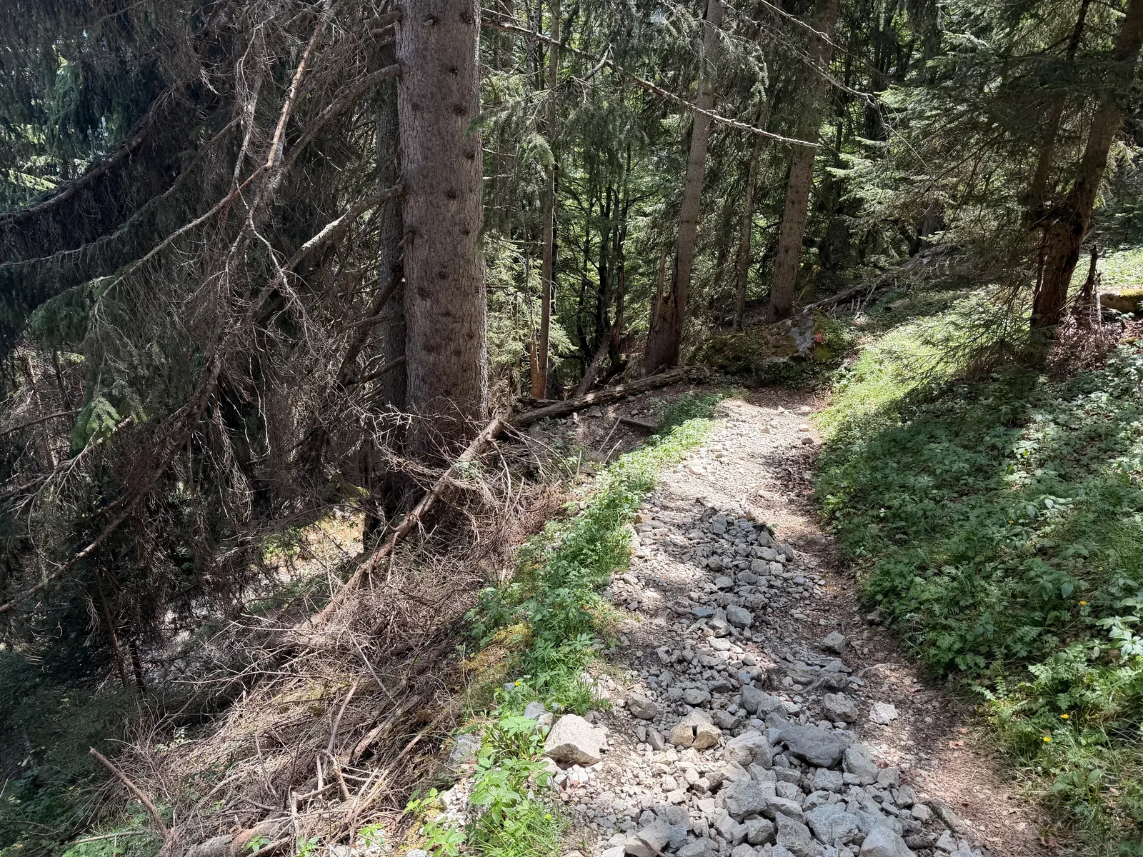
Rocky forest climb after Eibsee, much more technical than the forest road before it.
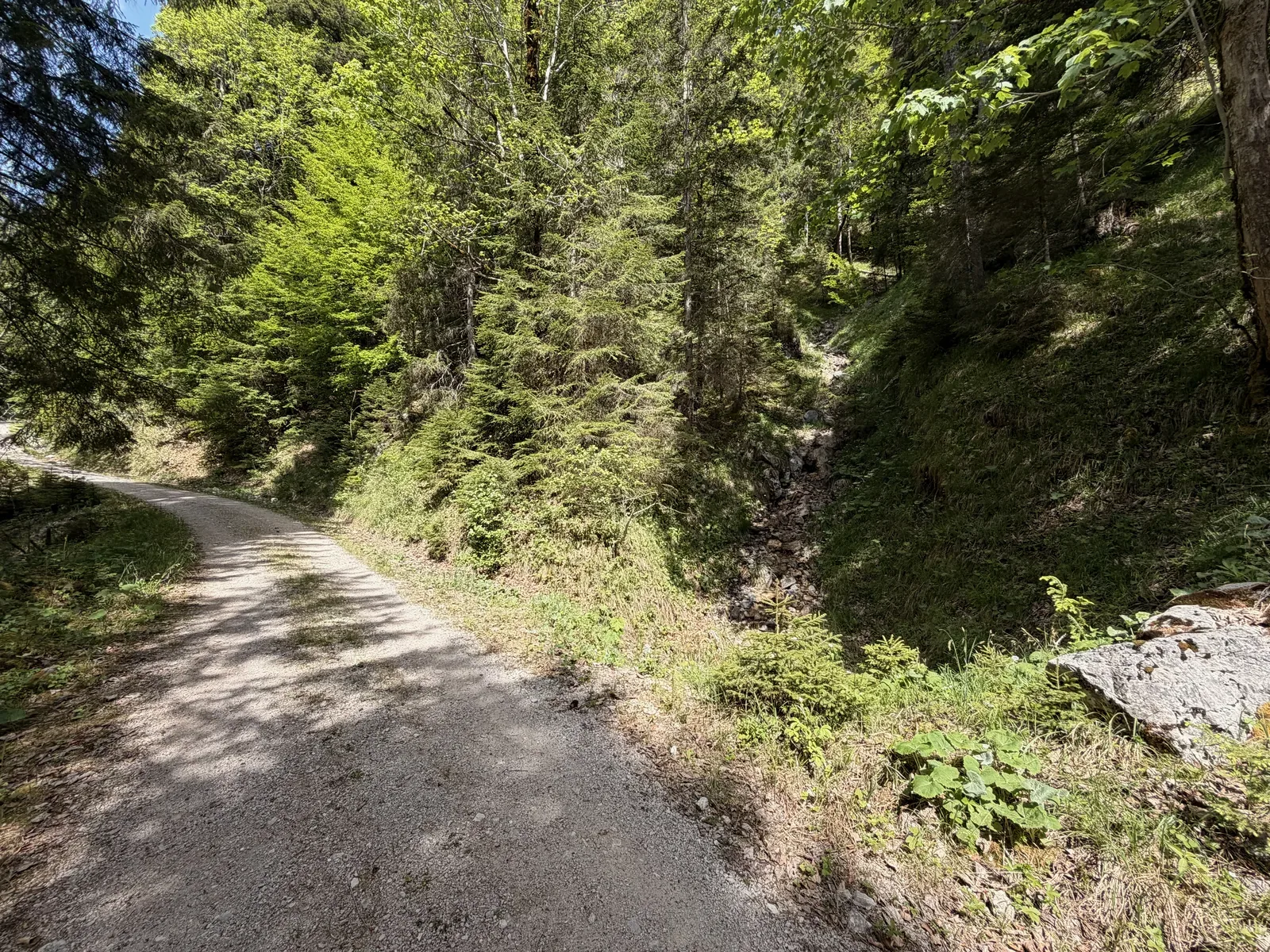
Wide gravel road in the forest on the climb above Eibsee.

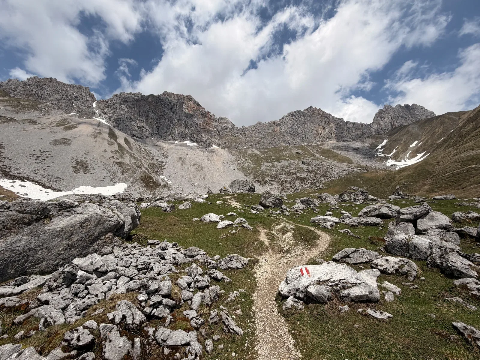
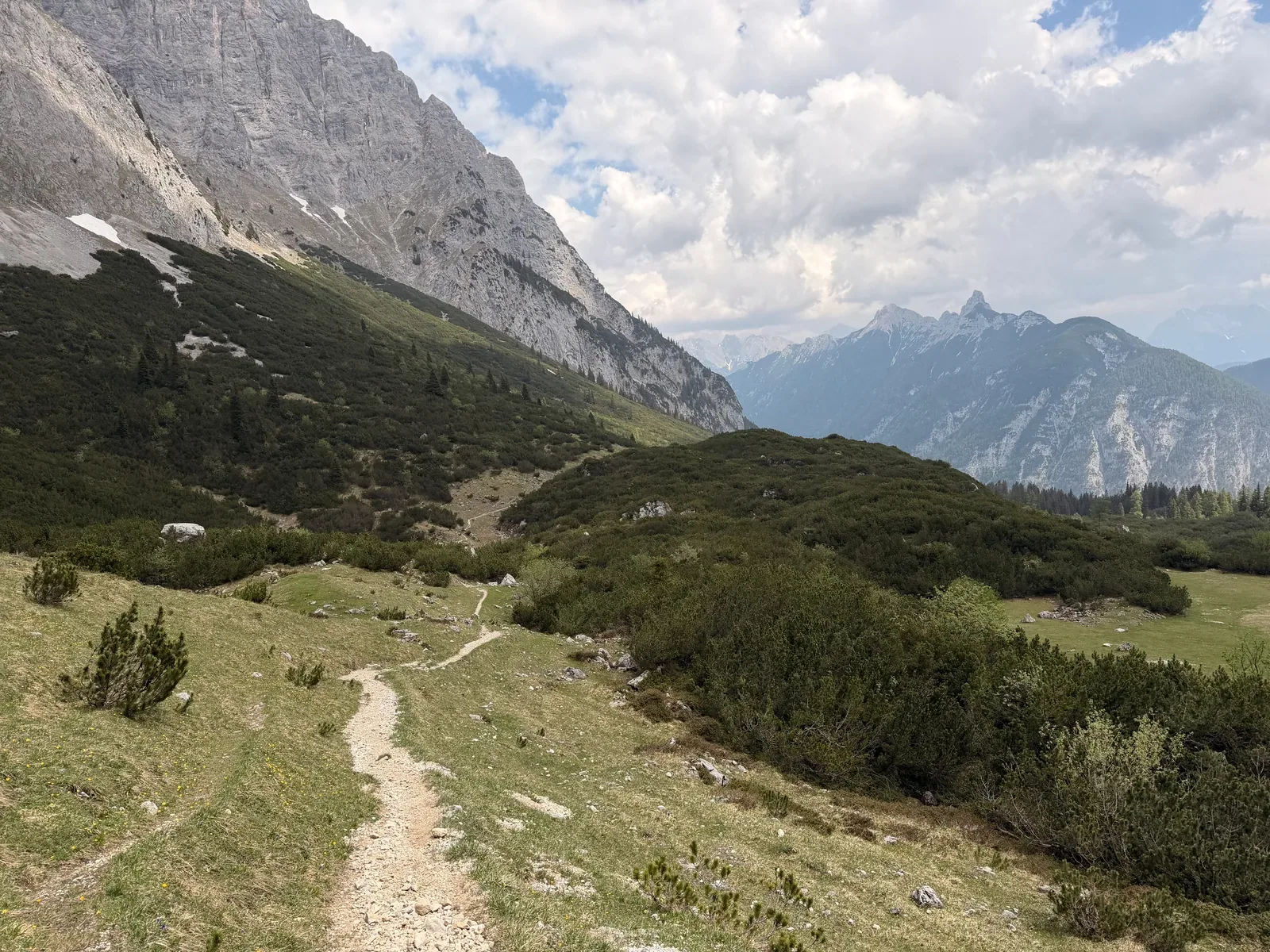
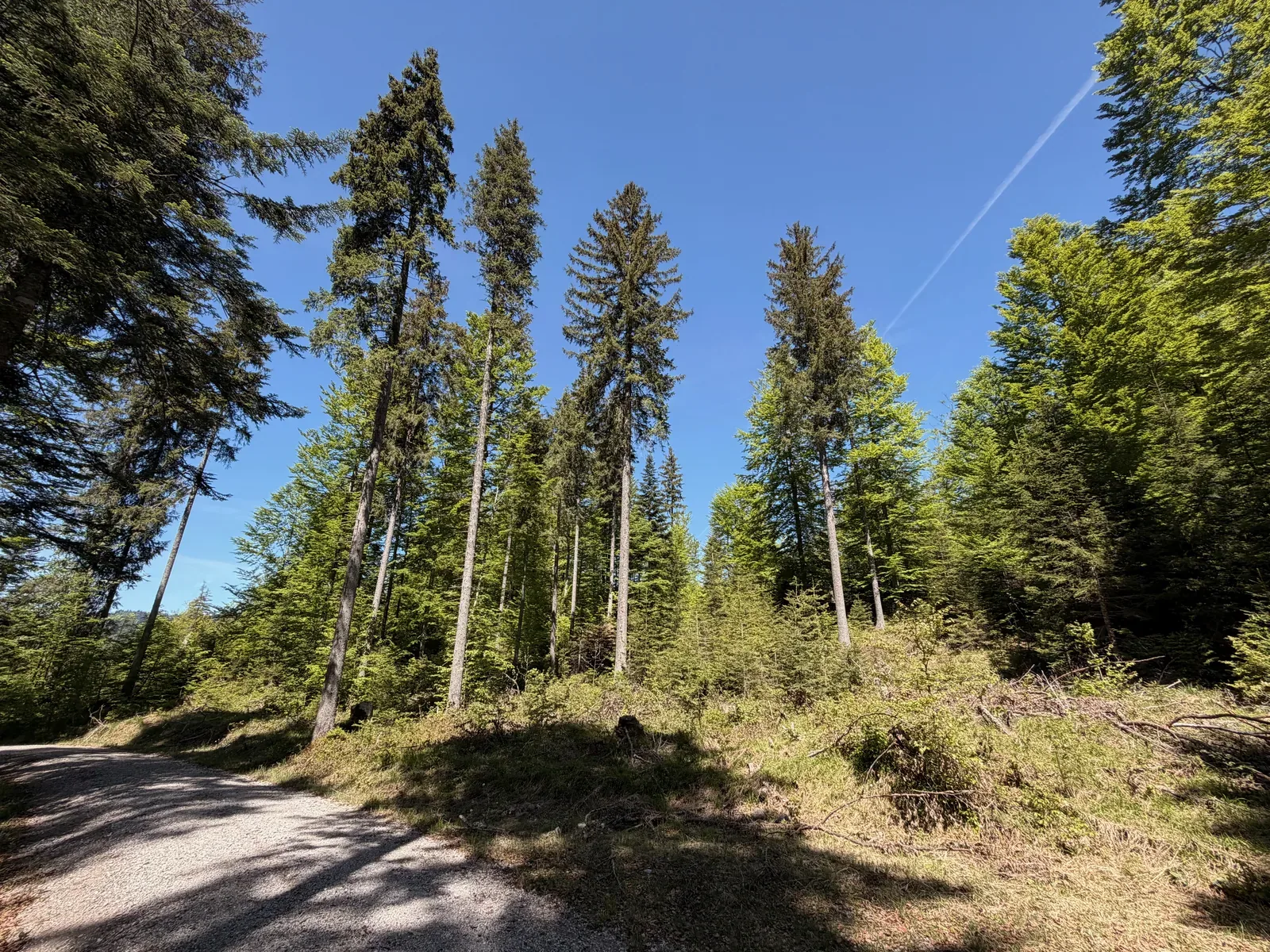
Open high valley with views of the Riffelwandspitzen and the alpine section above Eibsee.
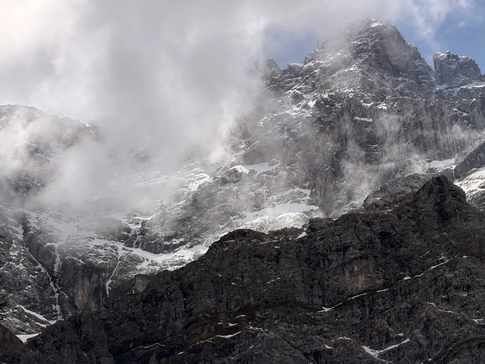
Clouds move over the rocky walls of the Riffelwandspitzen on the ZUT 107K course.
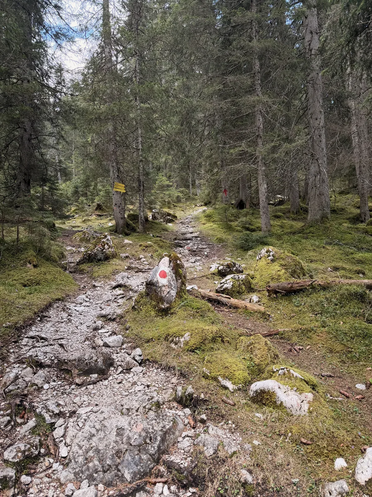
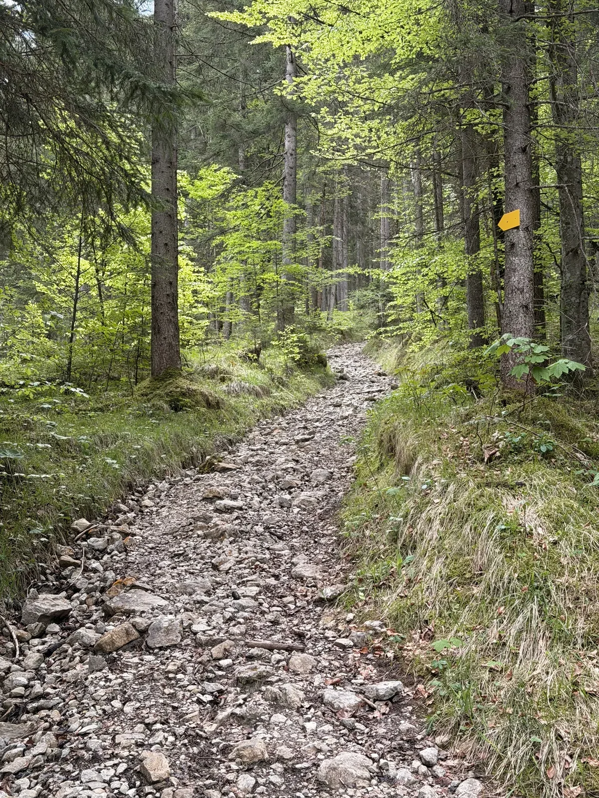
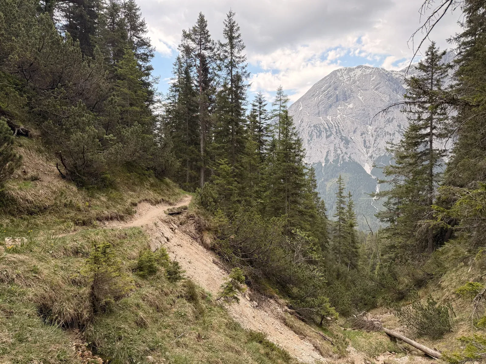
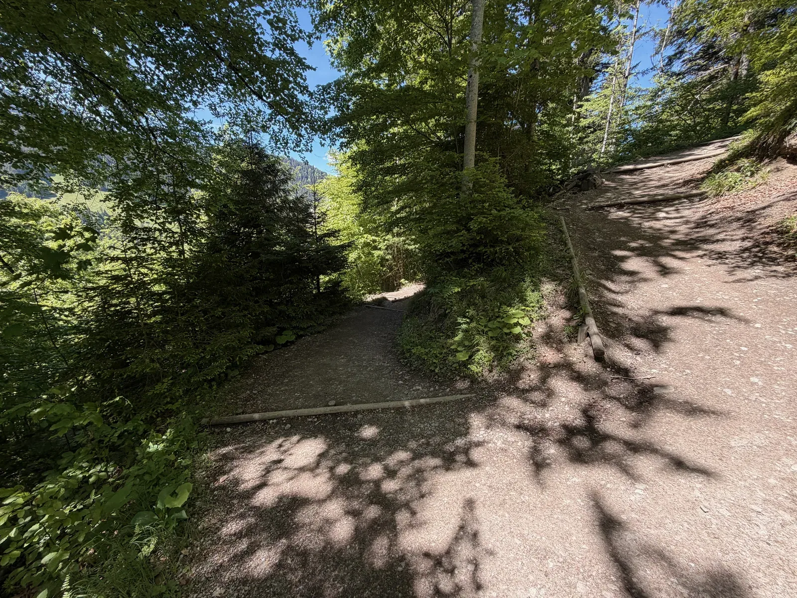
Forest trail with markings, roots and rocks on the way toward Ehrwald.
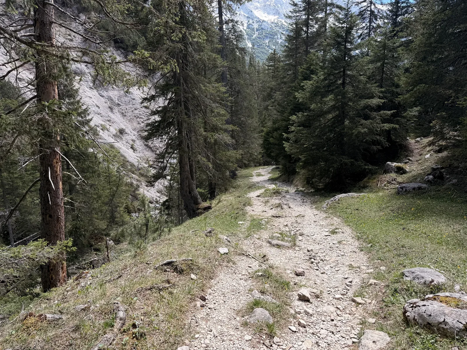
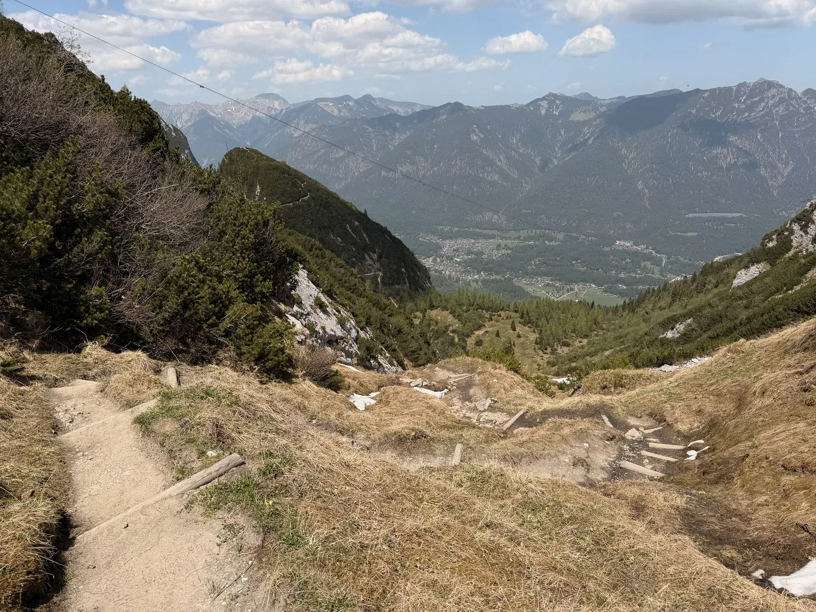
Rough, rocky forest trail with short steep passages after the Eibsee section; descend carefully here at night.
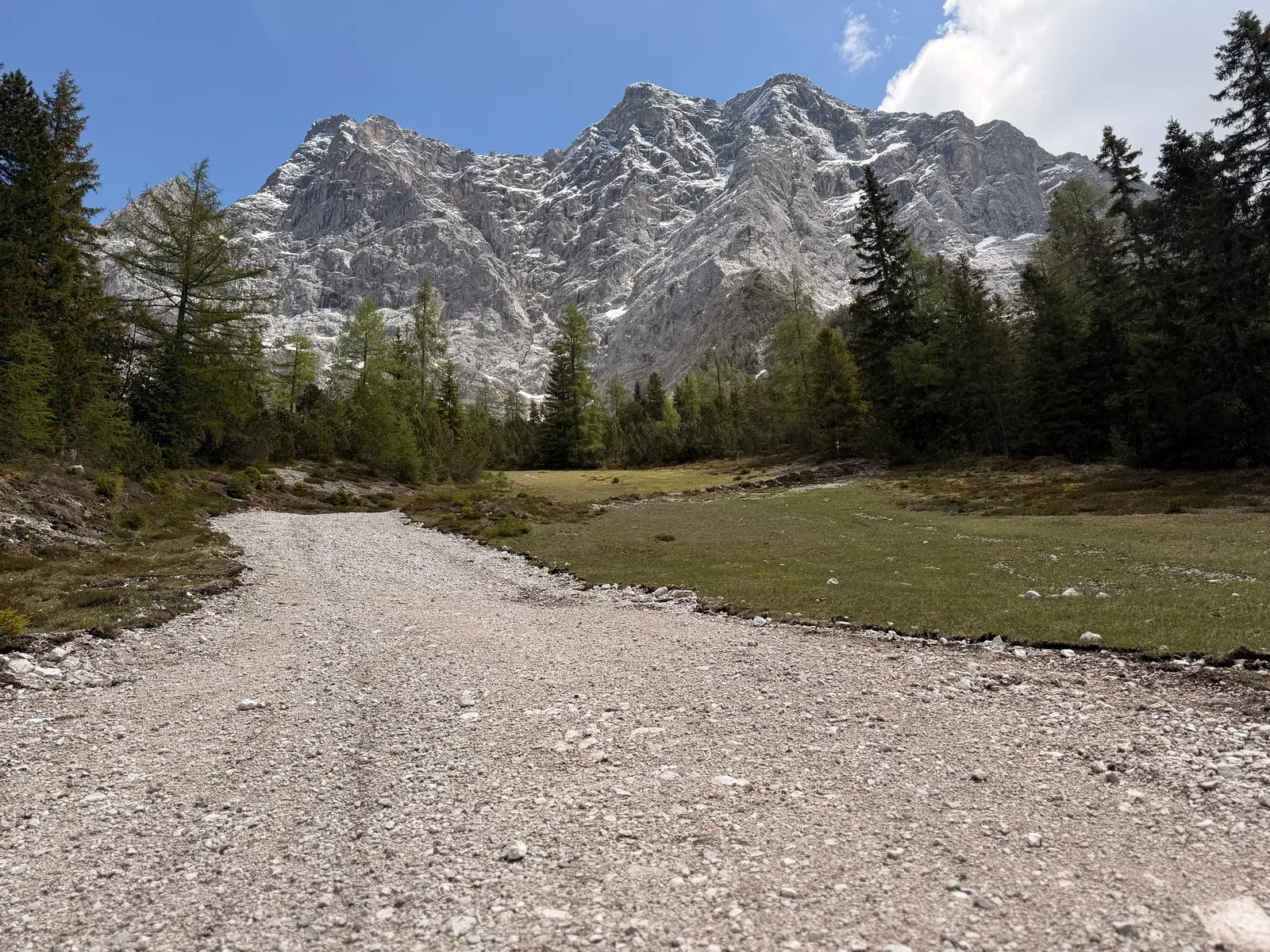
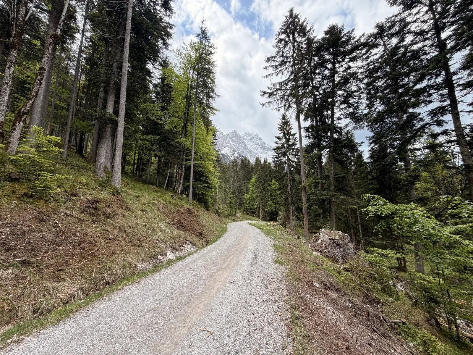
Wide gravel road below the Wetterstein mountains with views of the rock walls.
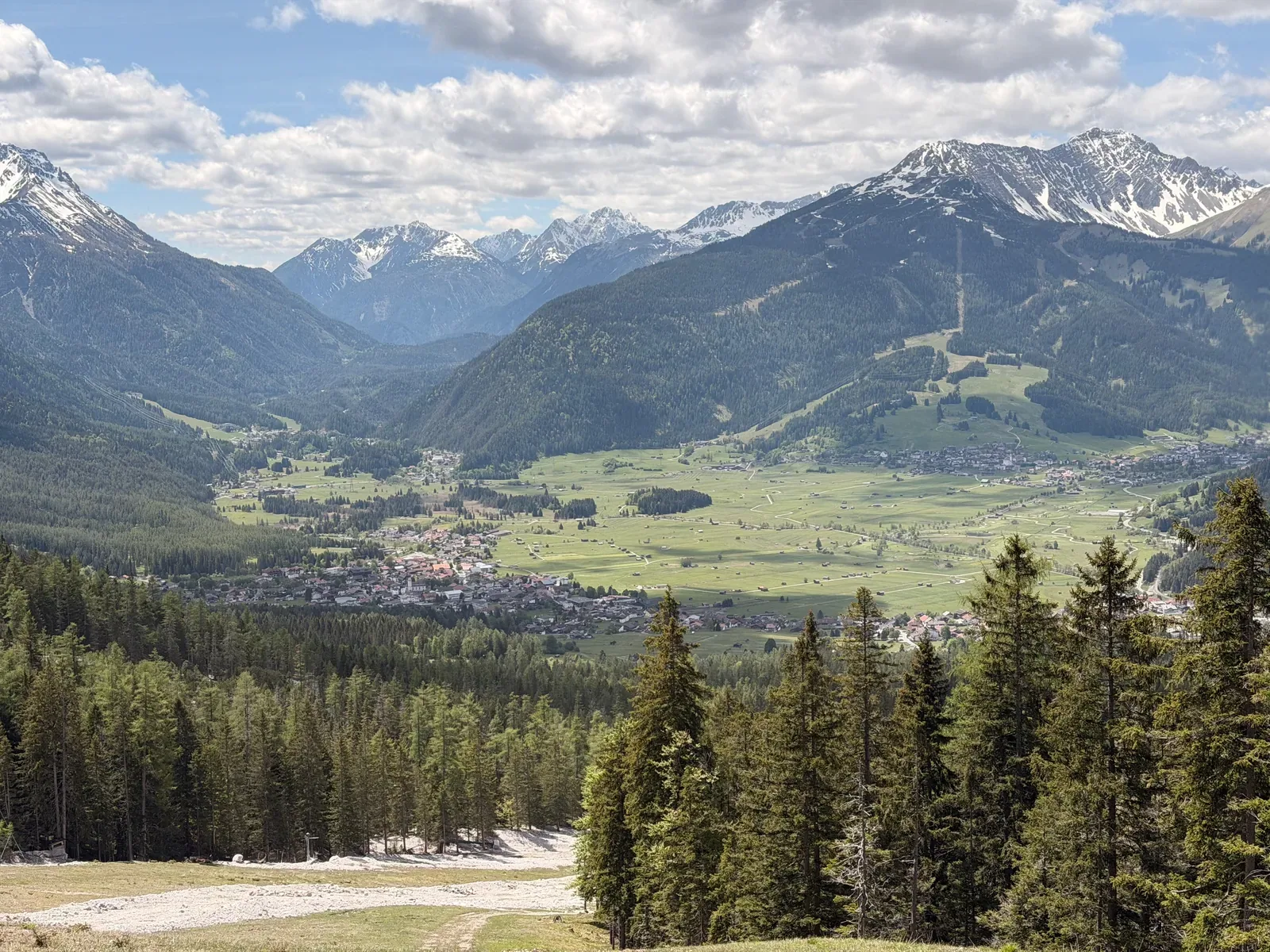
View into the valley near Ehrwald after the technical section from Eibsee.
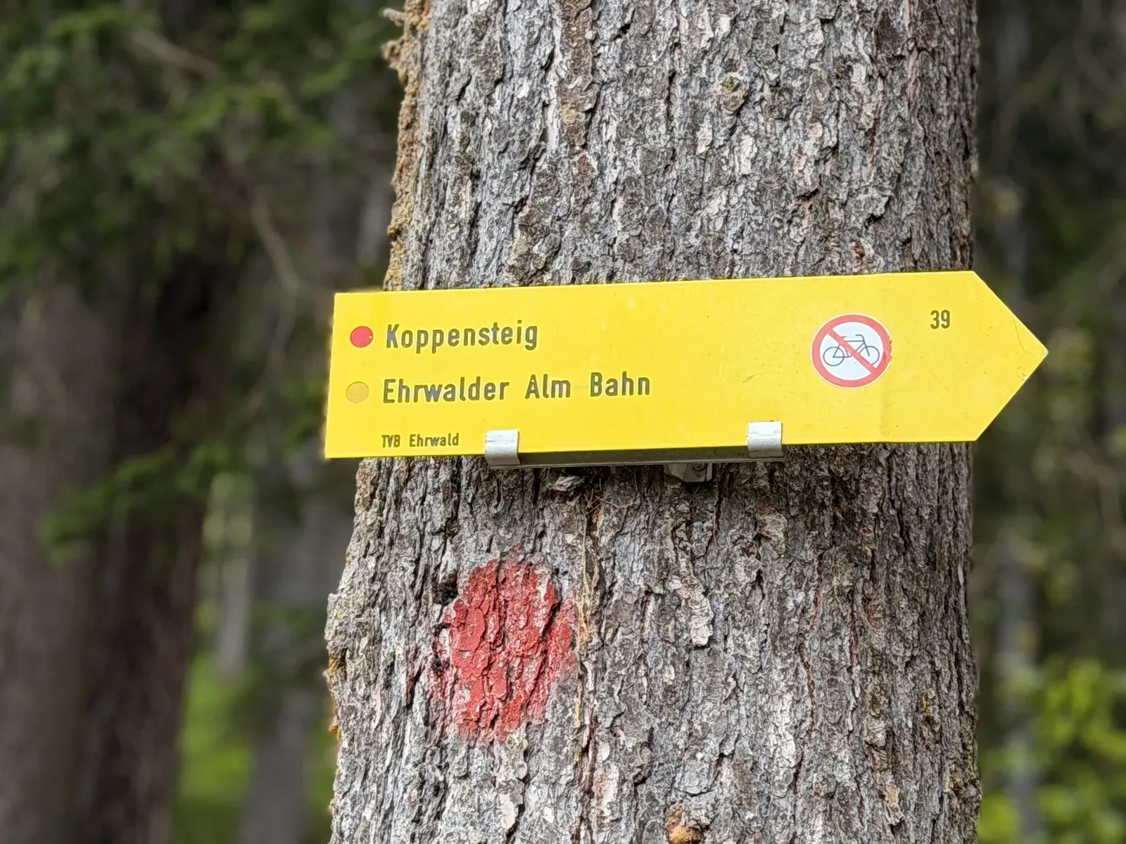
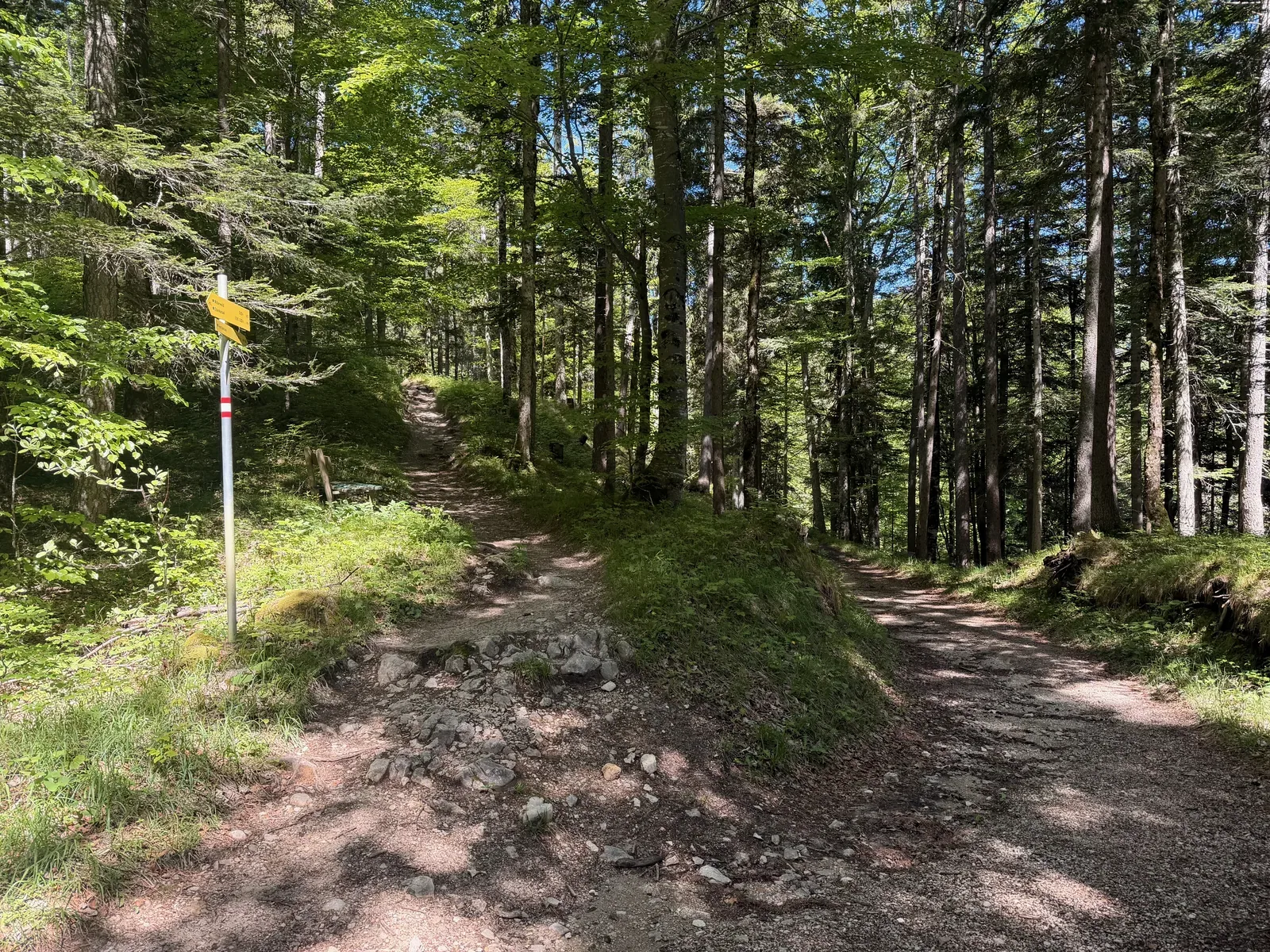
Signpost on the Koppensteig toward Ehrwalder Alm, shortly before the next climb.
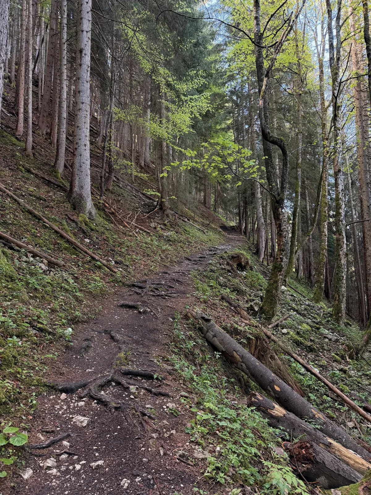
Rooty forest trail on the Koppensteig above Ehrwald.
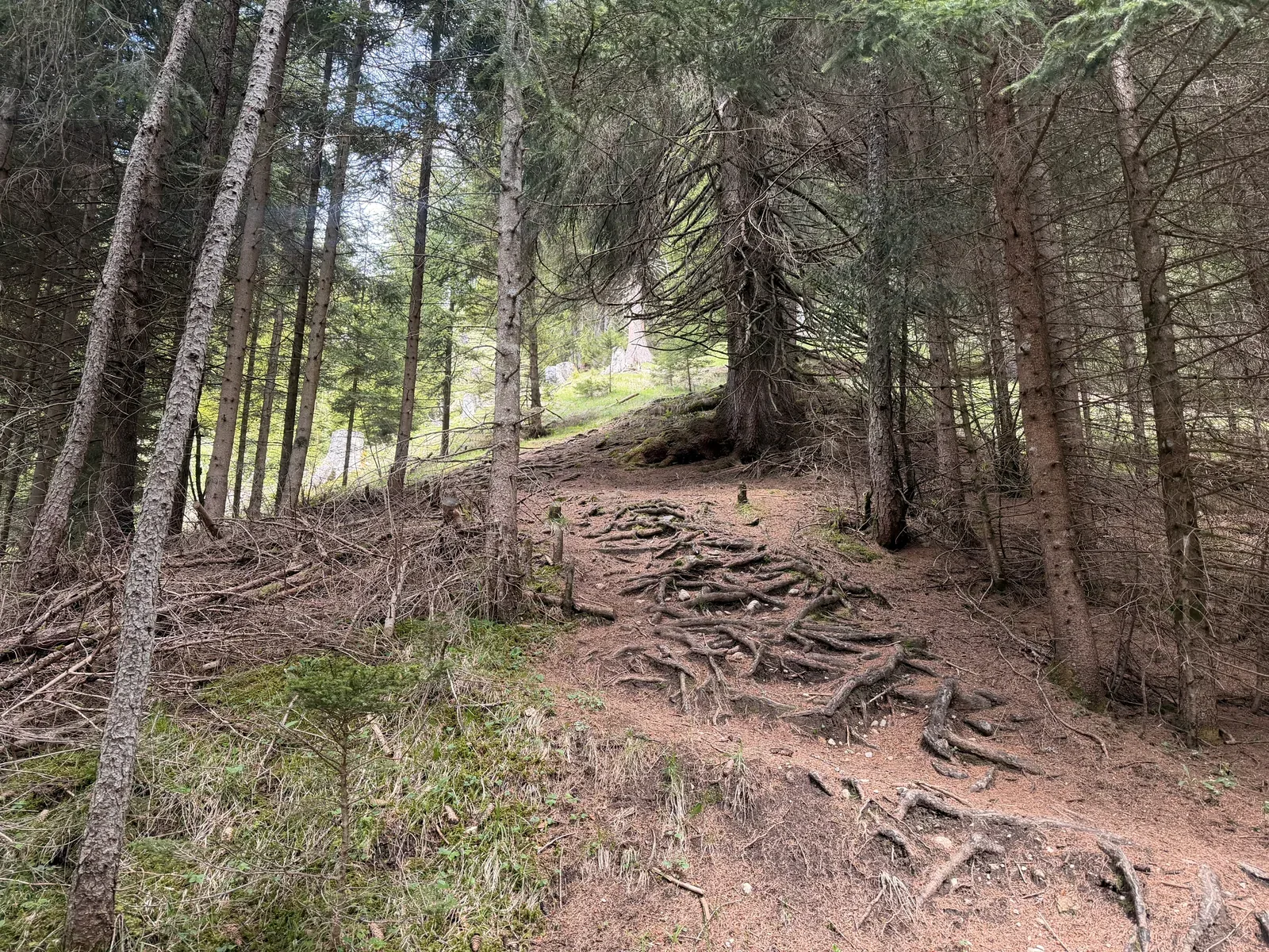
Steep forest climb with exposed roots and earthy ground toward Ehrwalder Alm.
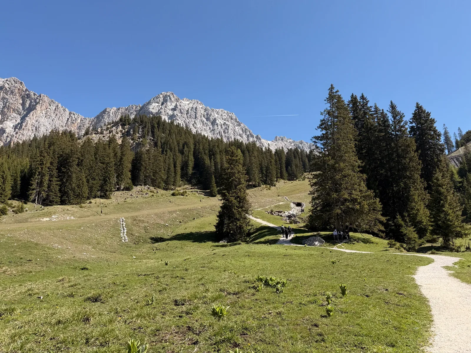
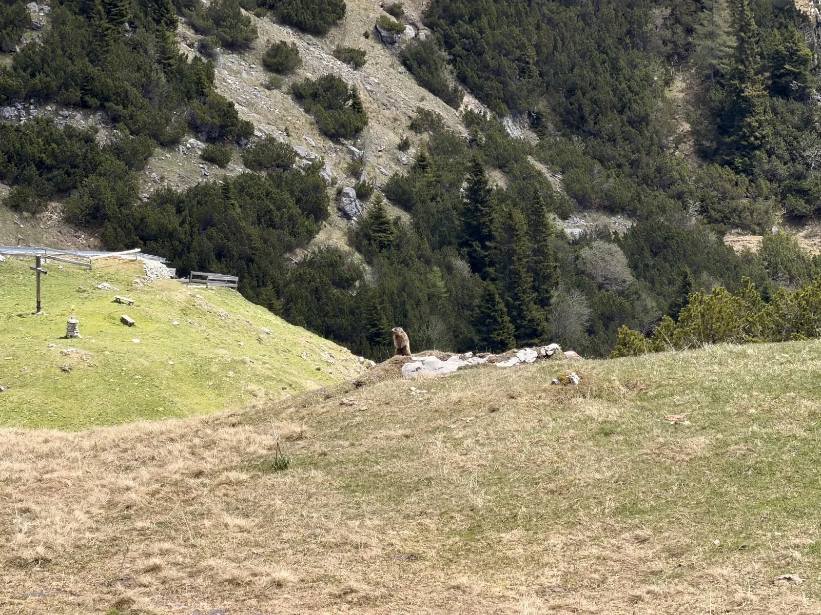
Alpine pasture above Ehrwald with views of the Wetterstein rock faces.
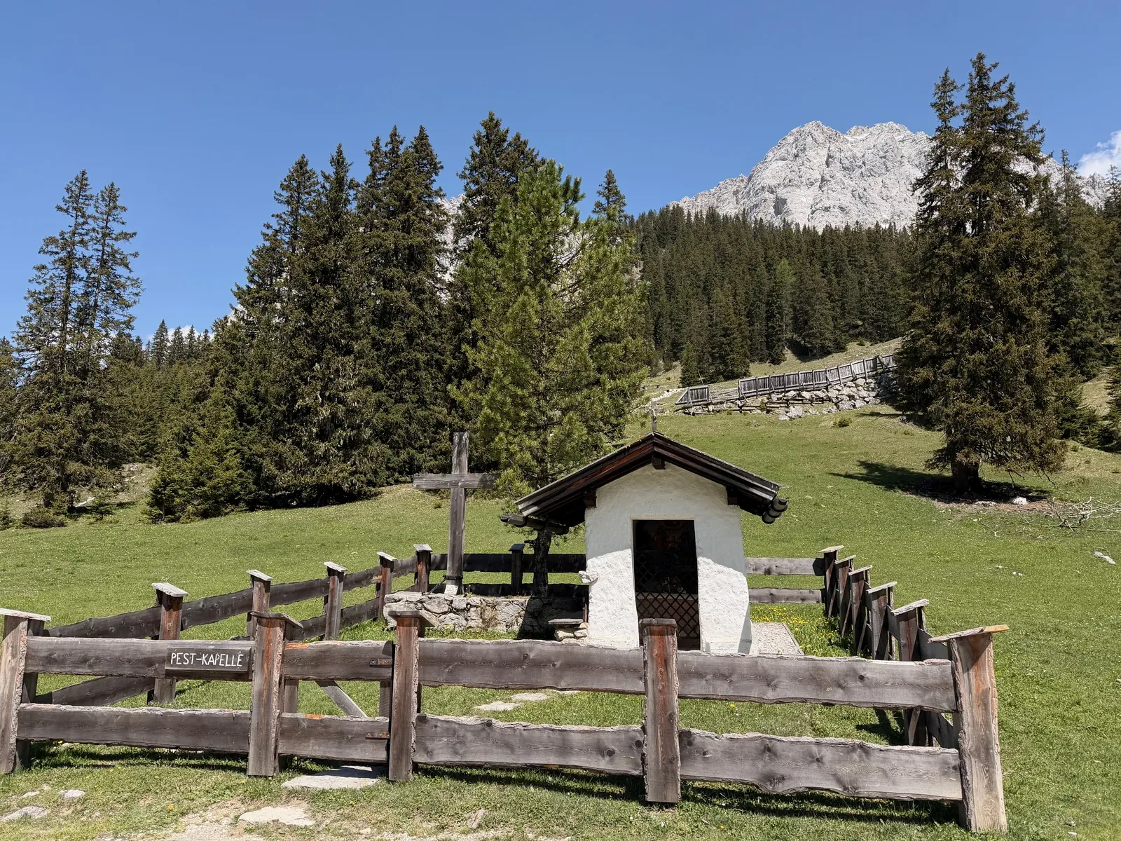
Pestkapelle near Ehrwalder Alm with alpine meadows and views toward the next alpine section to Gatterl.
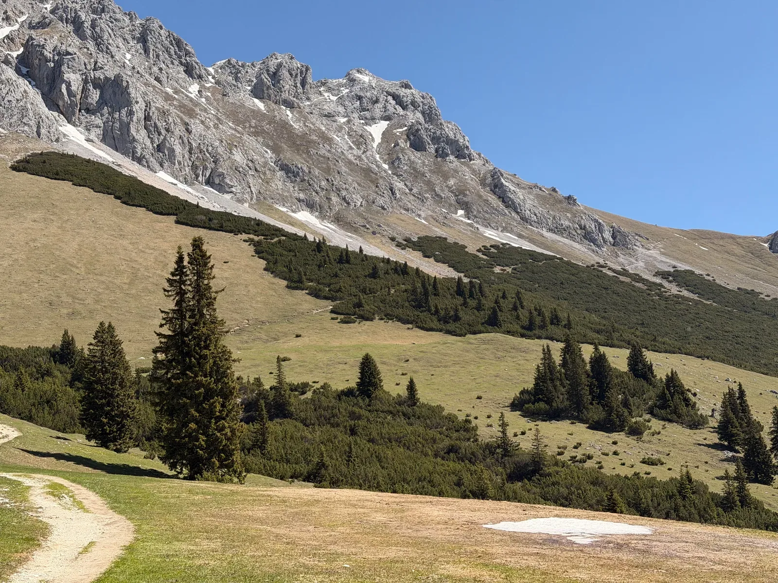
Open mountainside with a gravel road and views of the rock walls above Ehrwalder Alm.
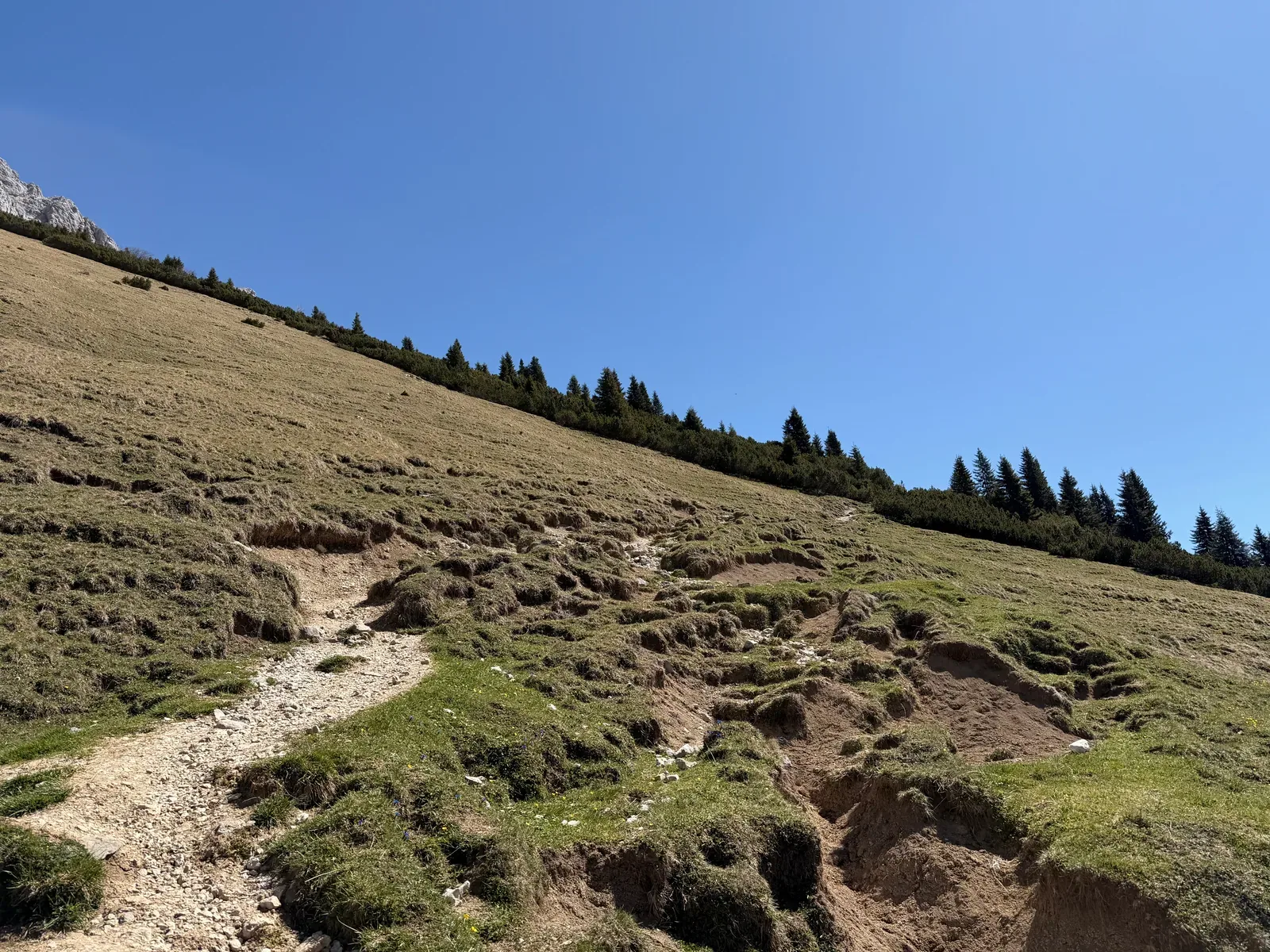
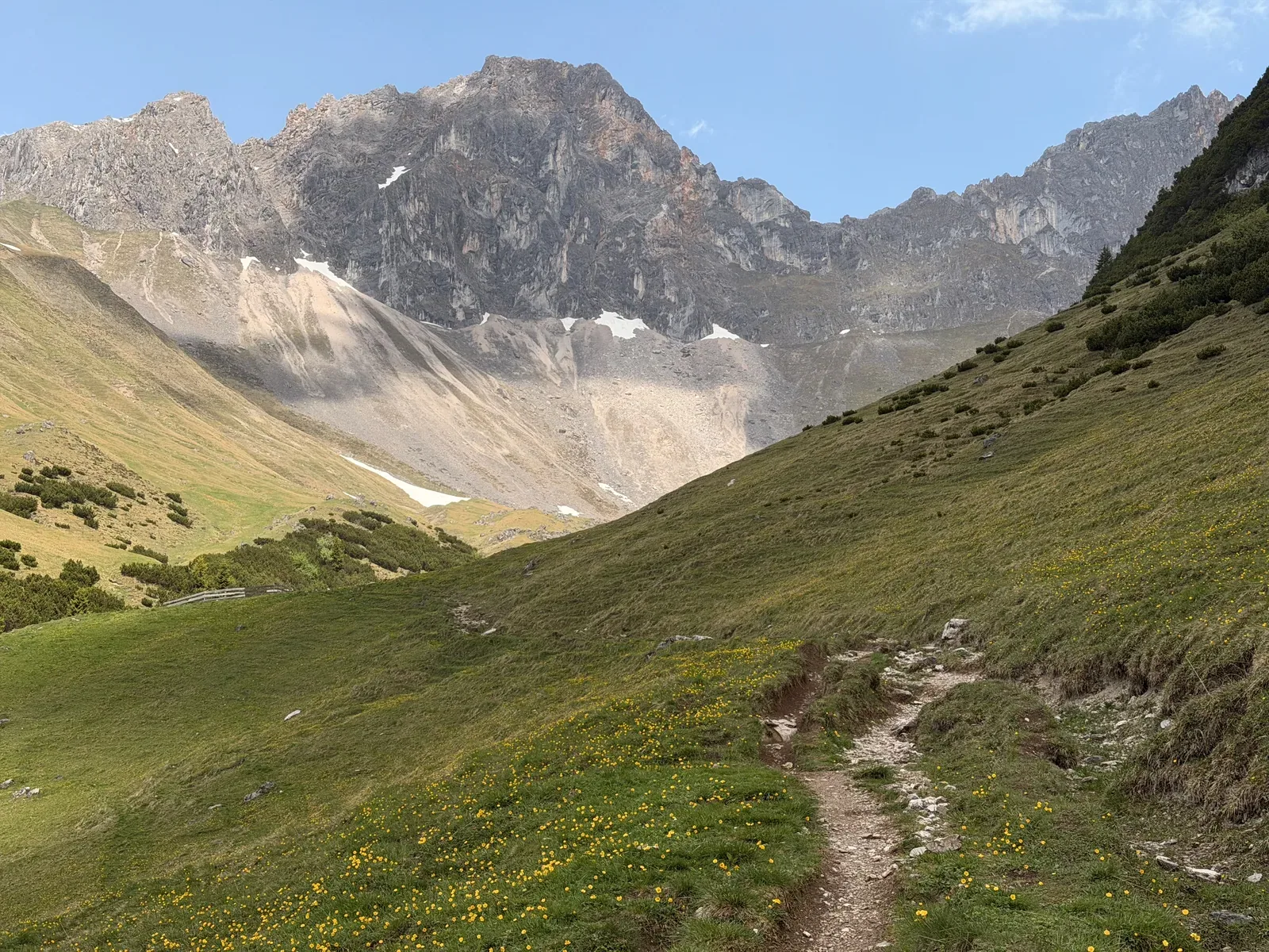
Narrow path across open alpine pasture; one of the smaller technical features on the way toward Gatterl.
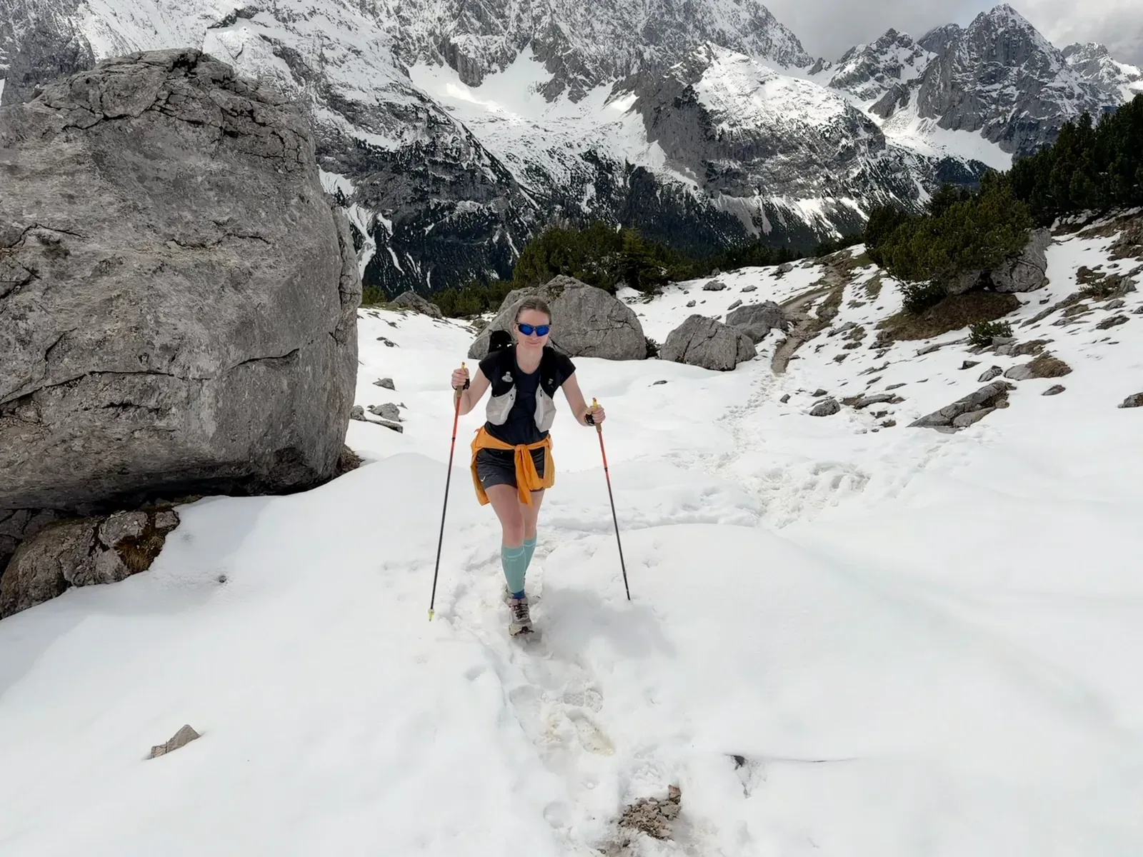
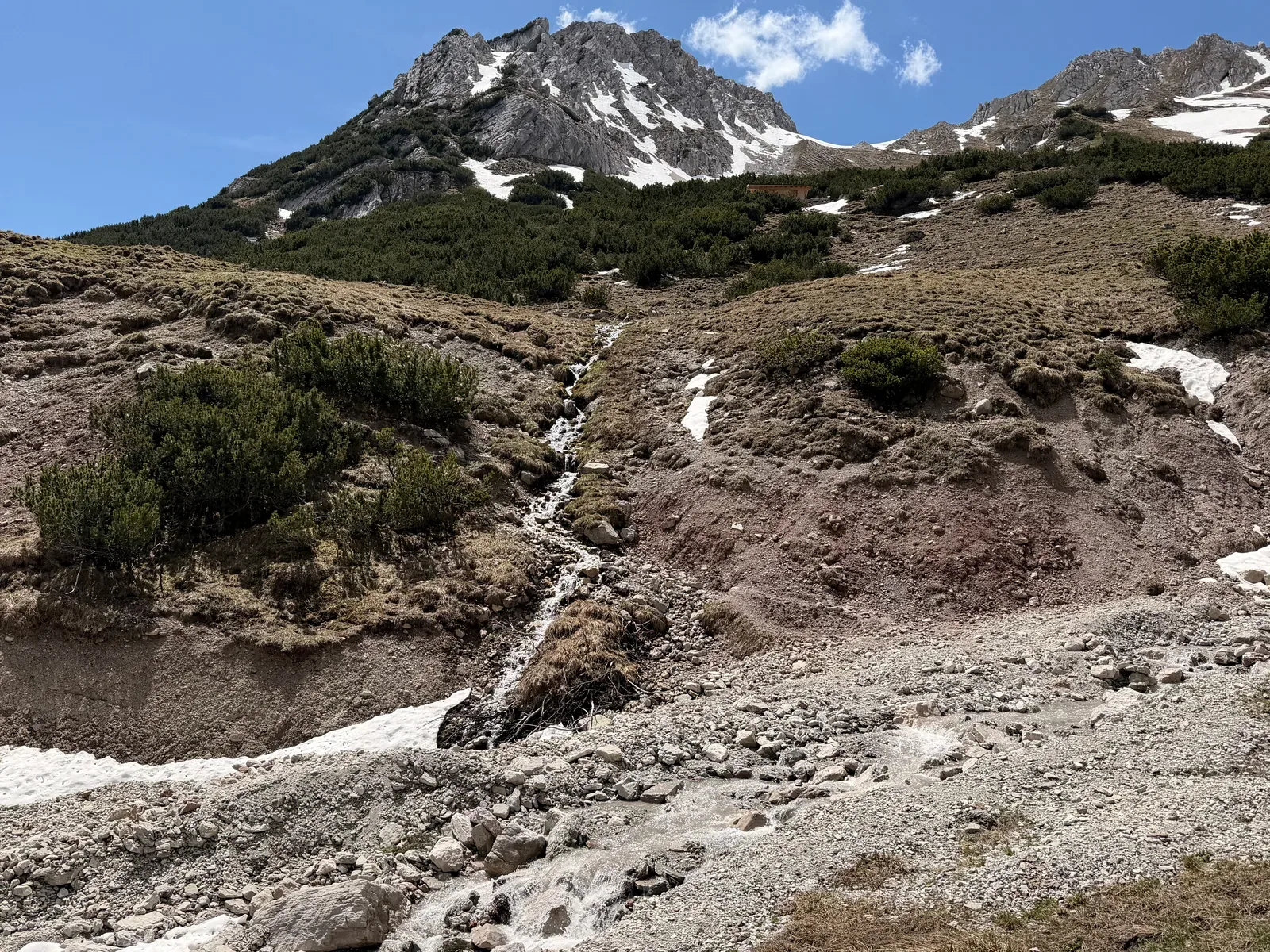
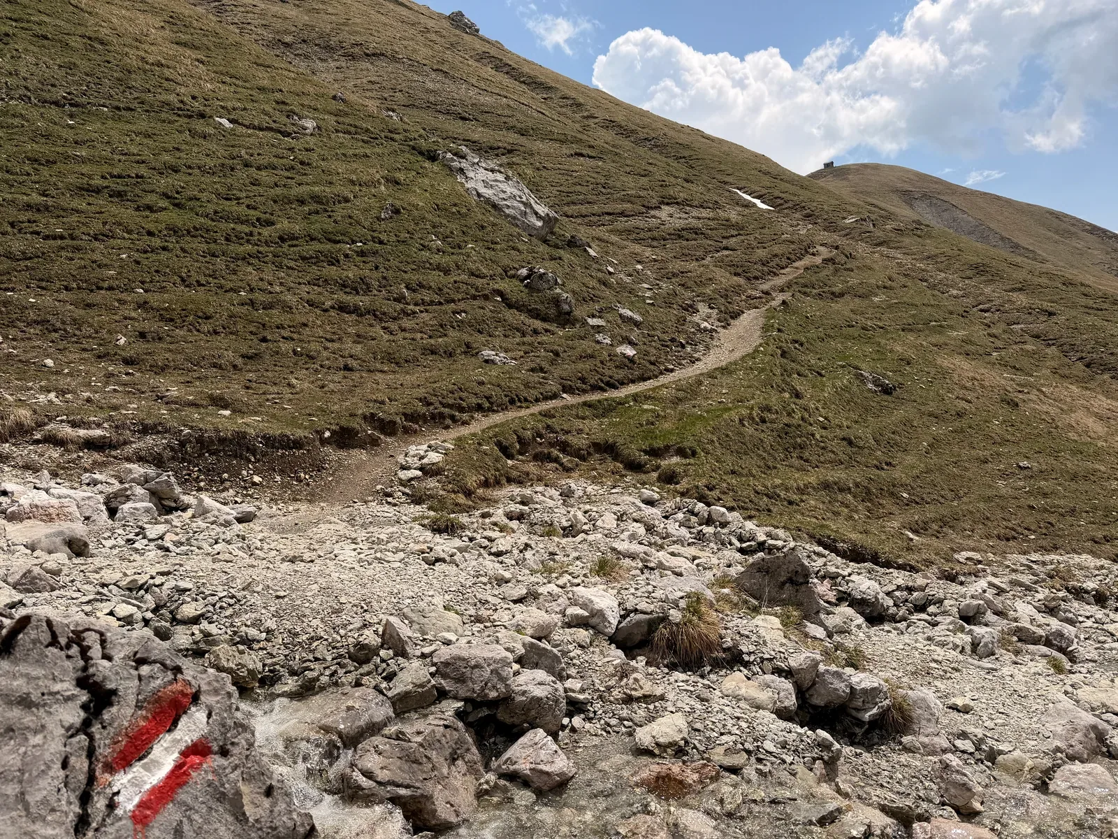
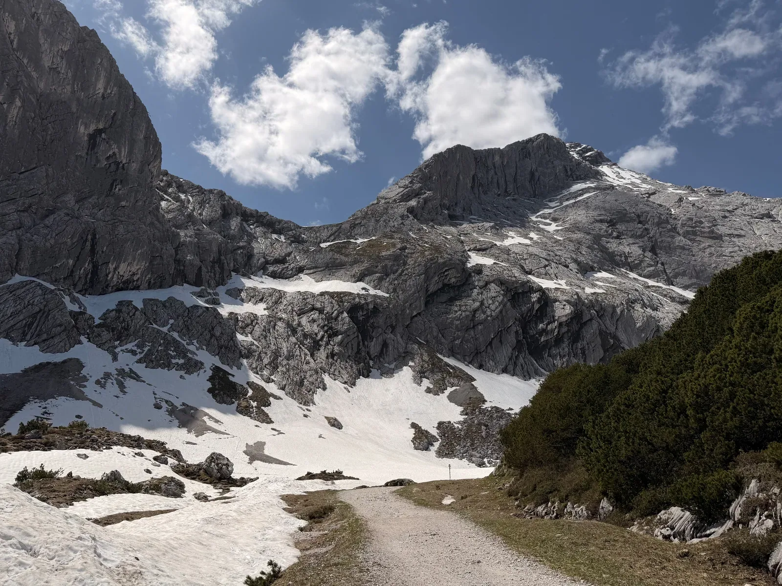
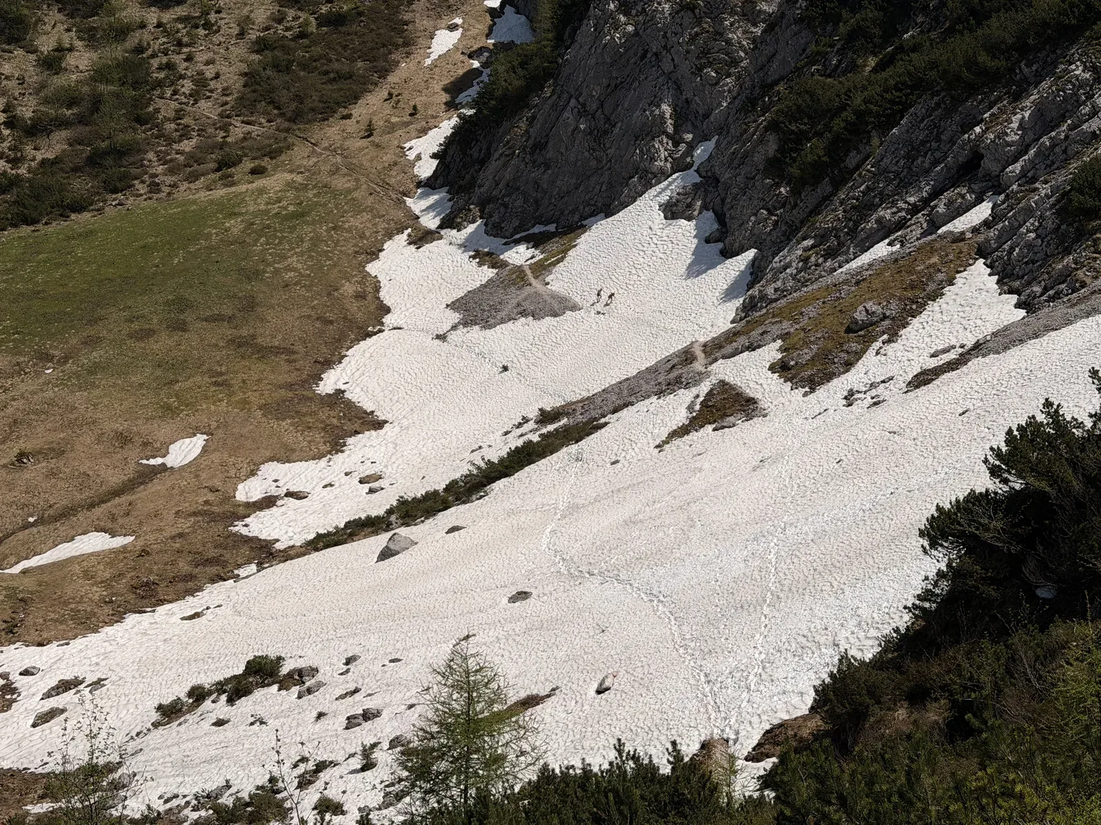
Snowfield on the climb toward Gatterl, where sure footing may still be needed in May.
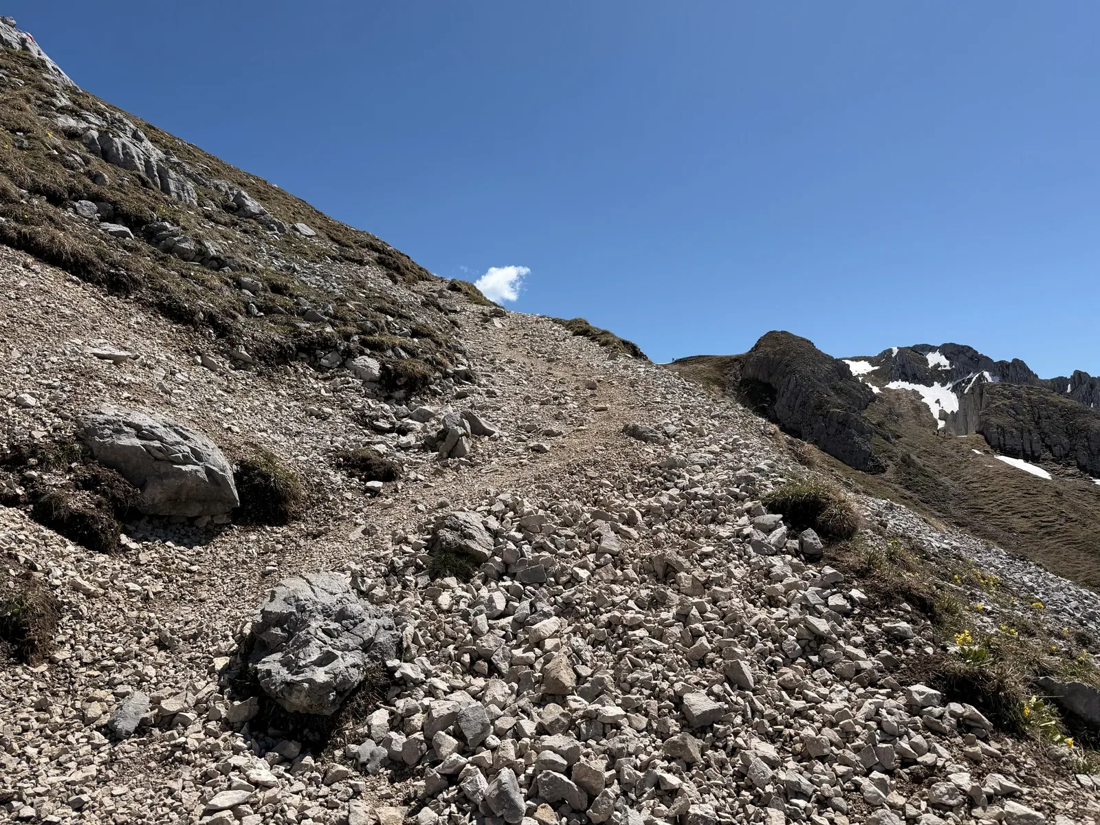
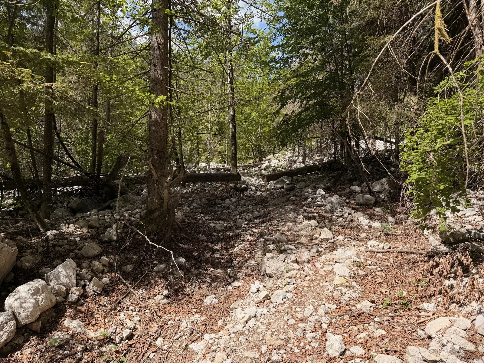
Rough scree field in the high alpine section, technical and slow to run.
Narrow alpine path above the snowfields with views into the Wetterstein mountains.
Snowfield crossing on the way toward Gatterl and Knorrhütte.
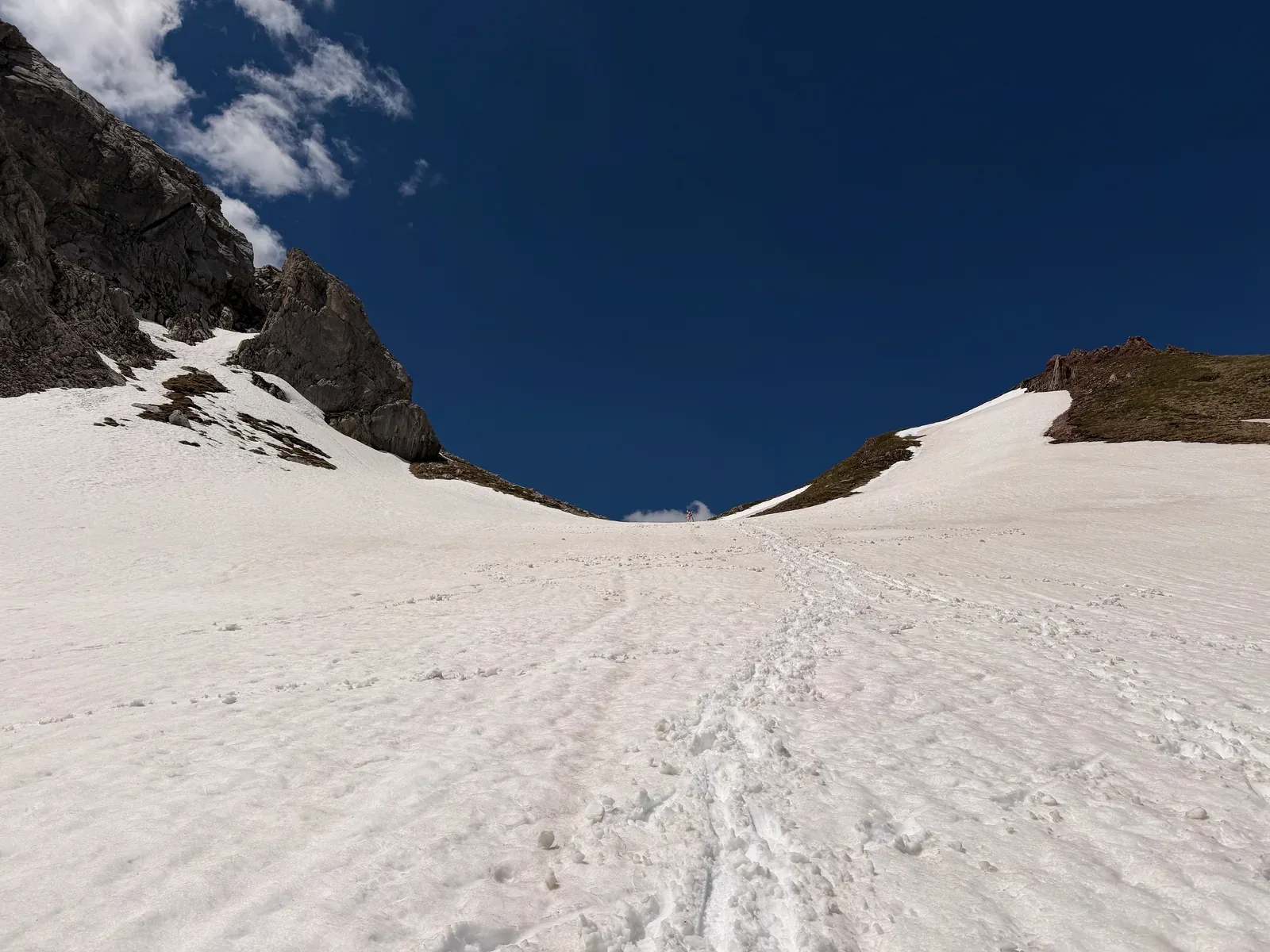
Wide snowfield in the high alpine zone of the ZUT 107K course shortly before the pass.
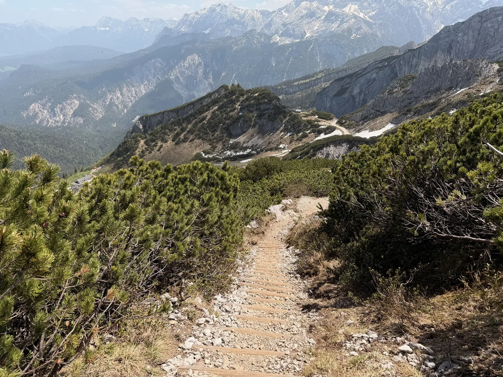
Steep descent across a grassy slope and narrow path after the high alpine section.
Rocky trail with small patches of snow and views of the surrounding cliffs.
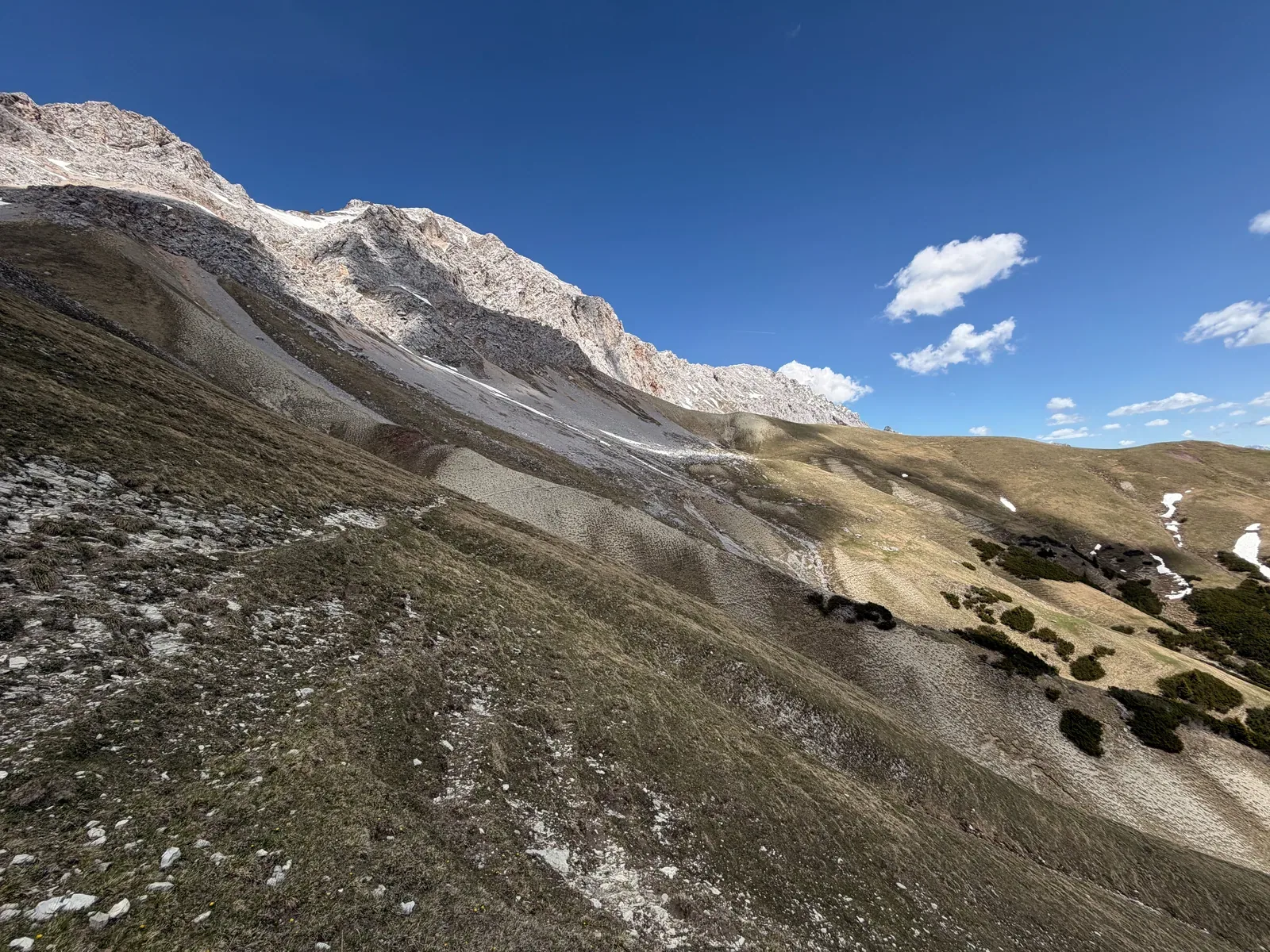
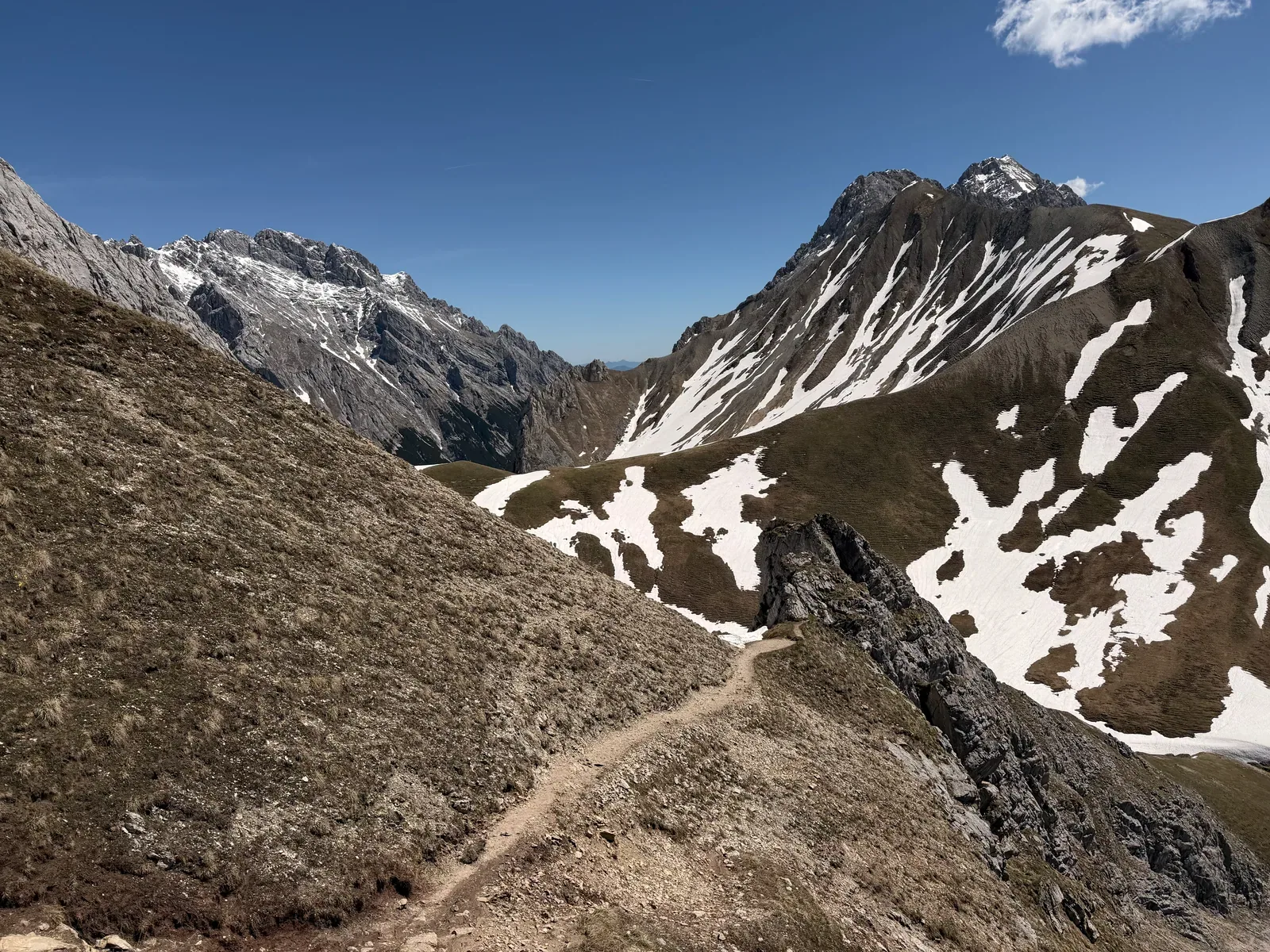
High alpine panoramic path with wide views across the Wetterstein mountains.
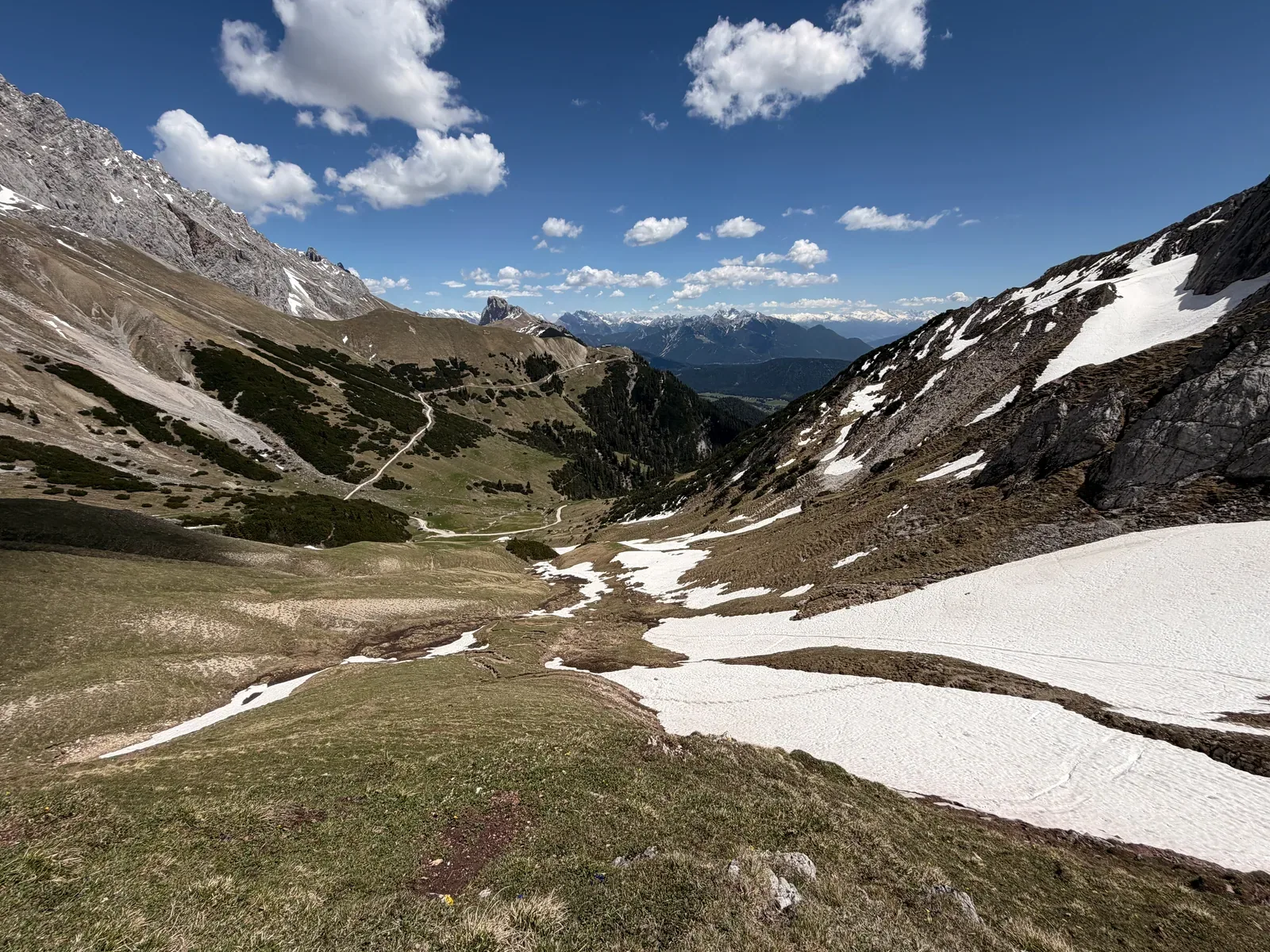
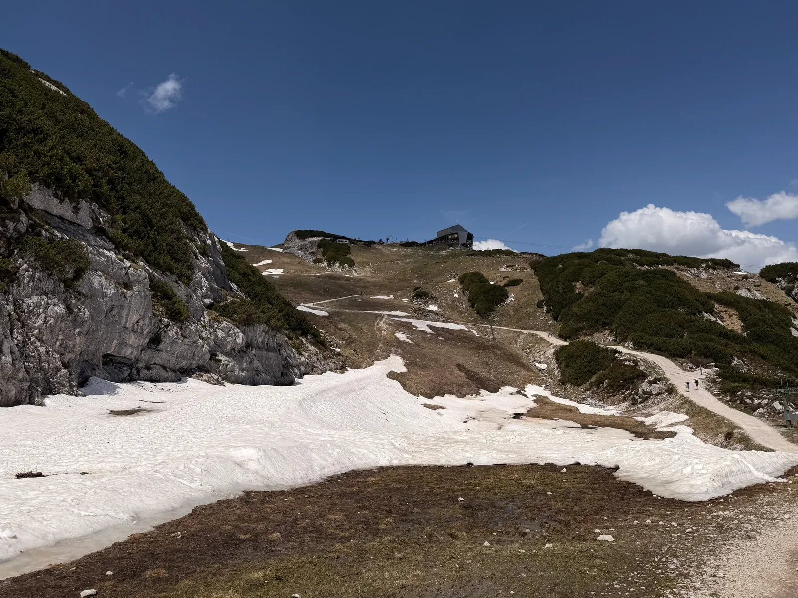
Open mountain basin with snowfields and a clearly visible trail line.
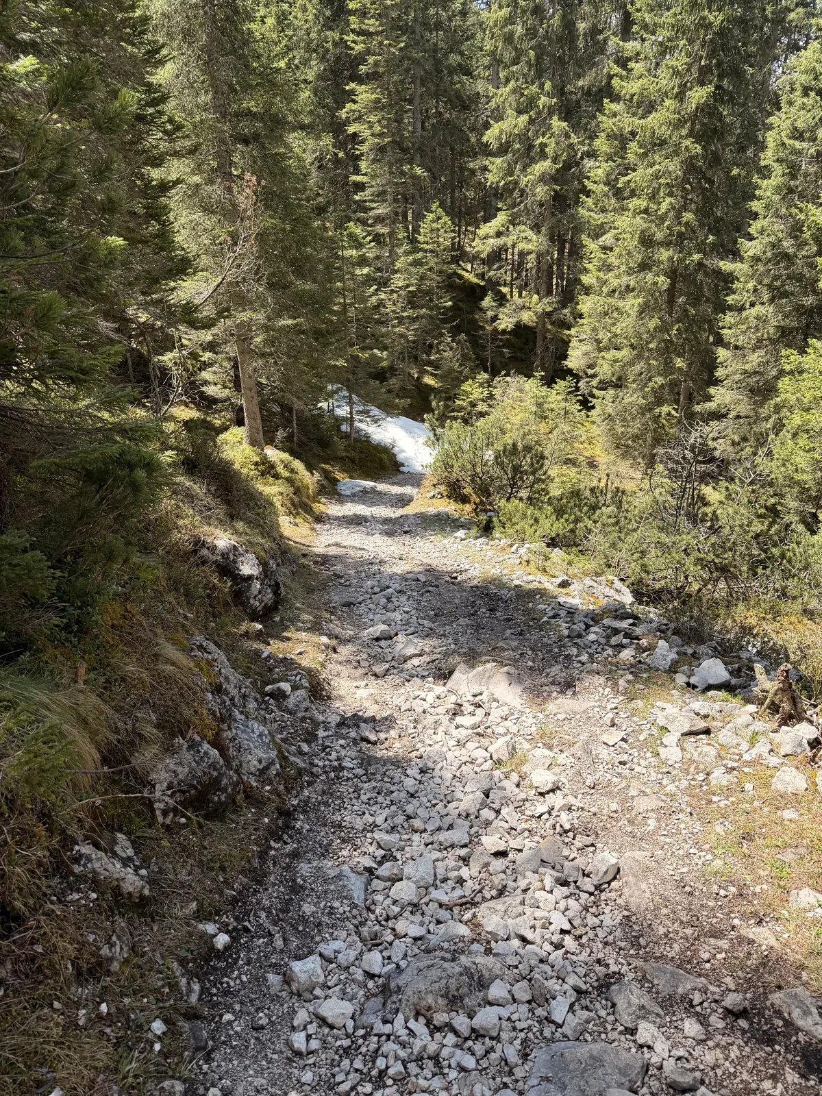
Rocky forest road on the descent, more runnable again after the snowfields.
Wide forest road in the valley with a look back toward the Wetterstein rock walls.
Gravel road in an alpine valley, runnable but still part of a long descent.
Narrow trail with rocks and roots in the forest after the alpine section.
Narrow hillside trail in the forest with a side slope and views into the valley.
Singletrack through open alpine pasture with views of the high Wetterstein walls.
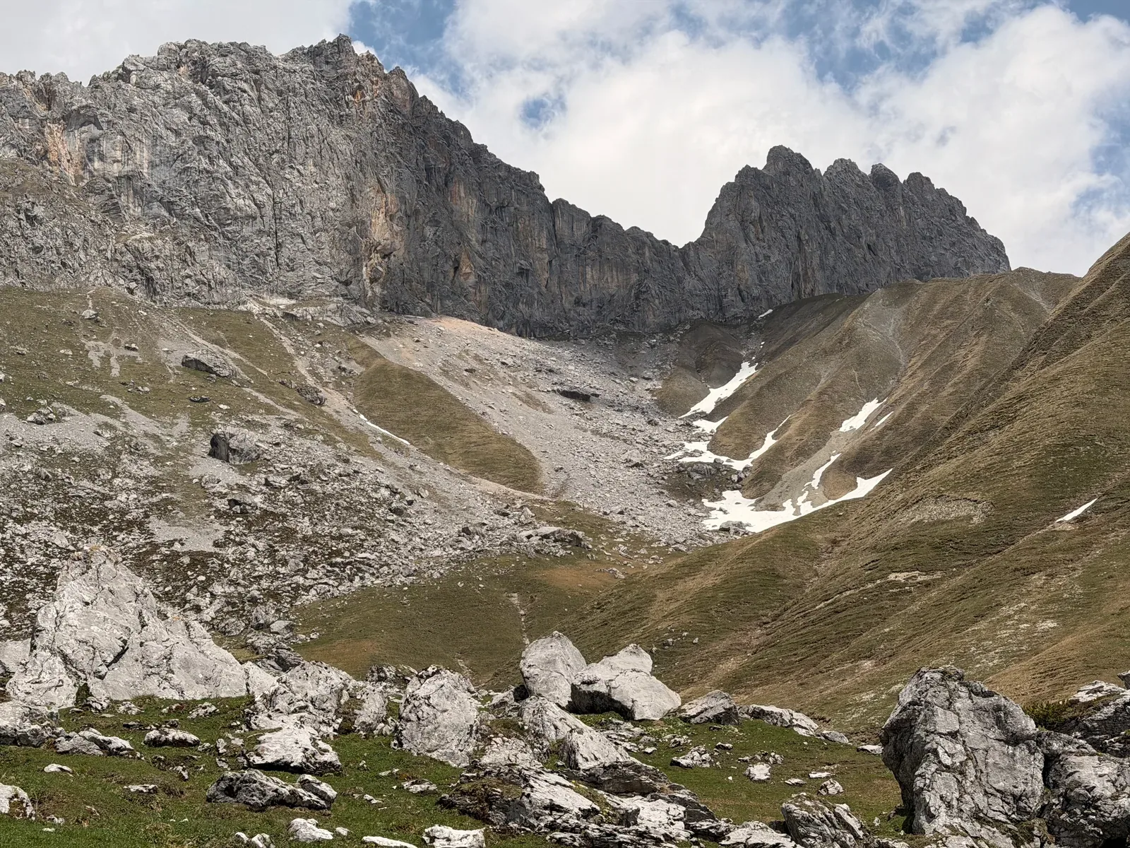
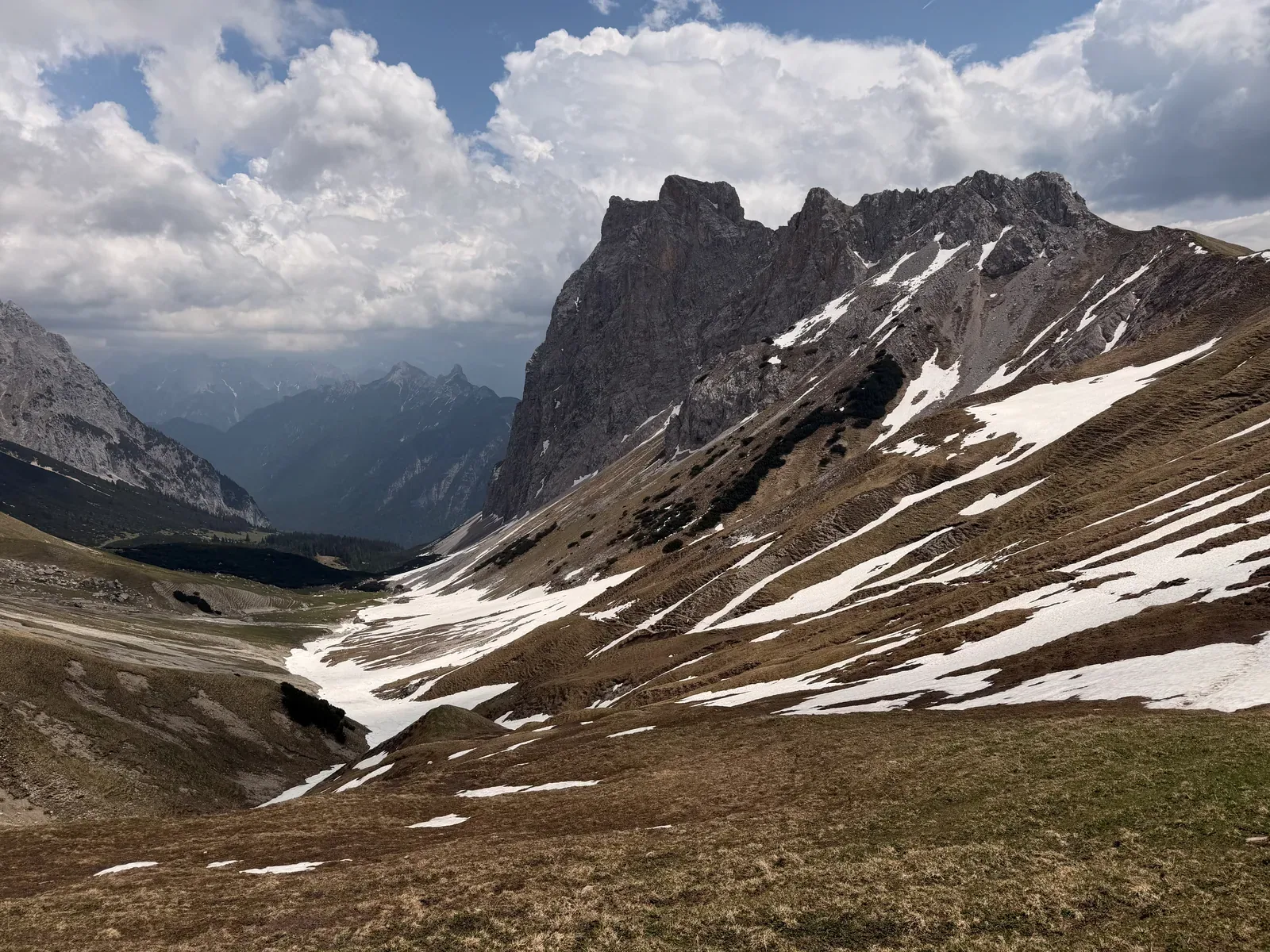
Alpine basin with rock walls and patches of snow on the ZUT 107K course.
Blocky terrain and a marked path in the high alpine section.
Narrow mountain path over scree and grass, a section for controlled pacing.
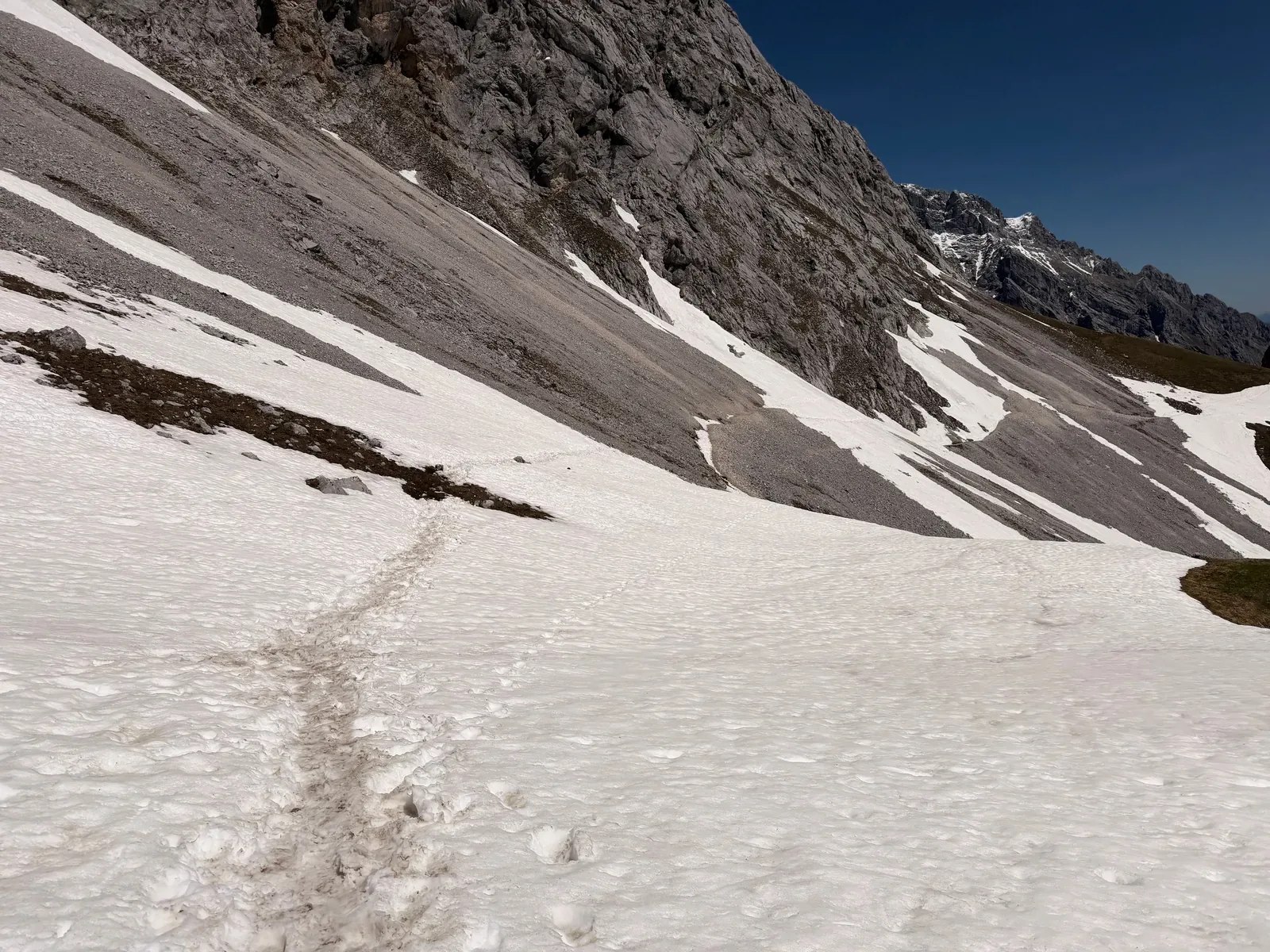
View across snowfields and rock walls in the alpine part of the course.
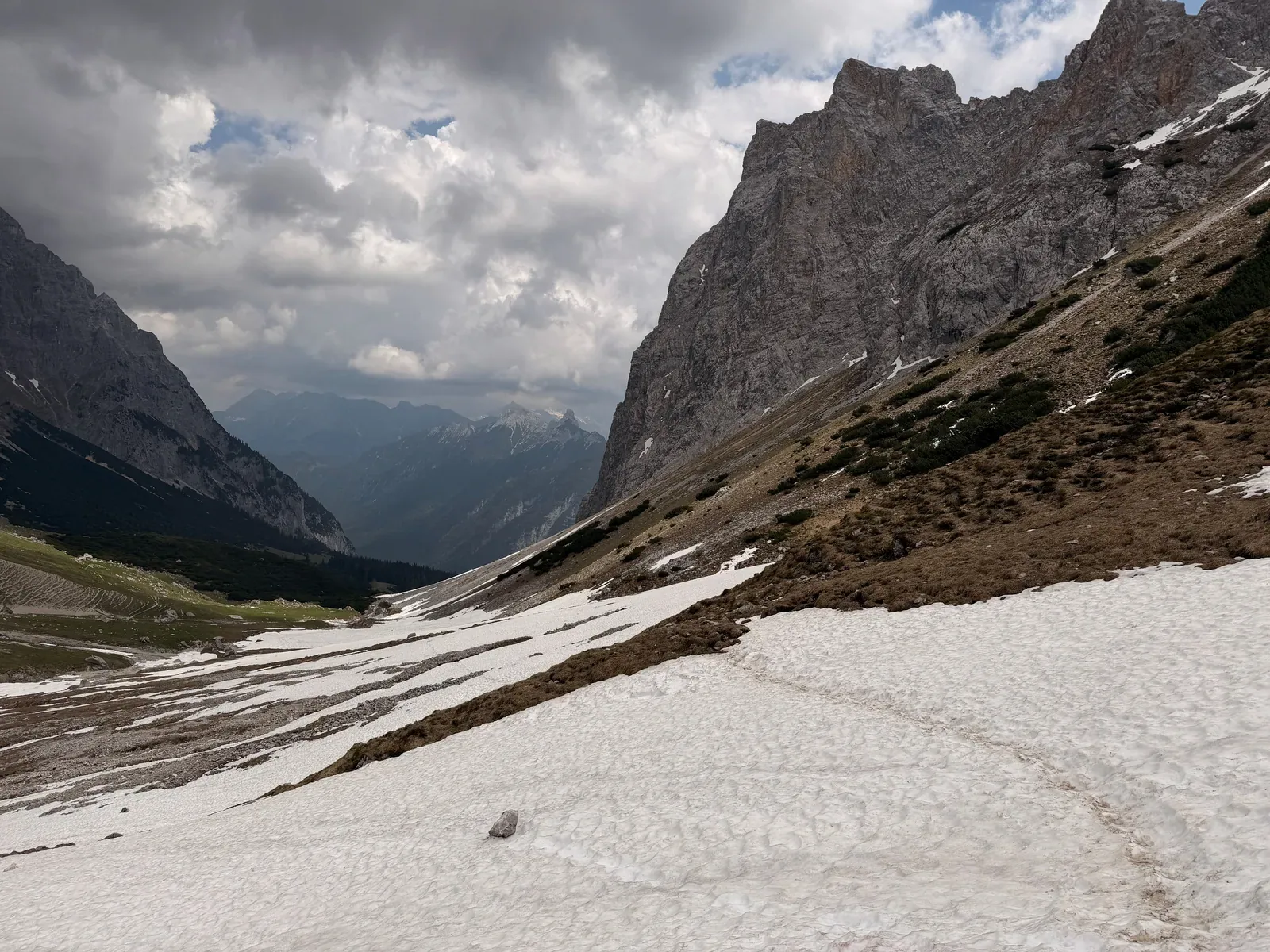
Snowfield crossing below steep rock walls, still clearly wintry in May.
Descent on narrow trail through dwarf pines with views into the valley.
Rocky forest trail on the descent, technical enough to require focused running.
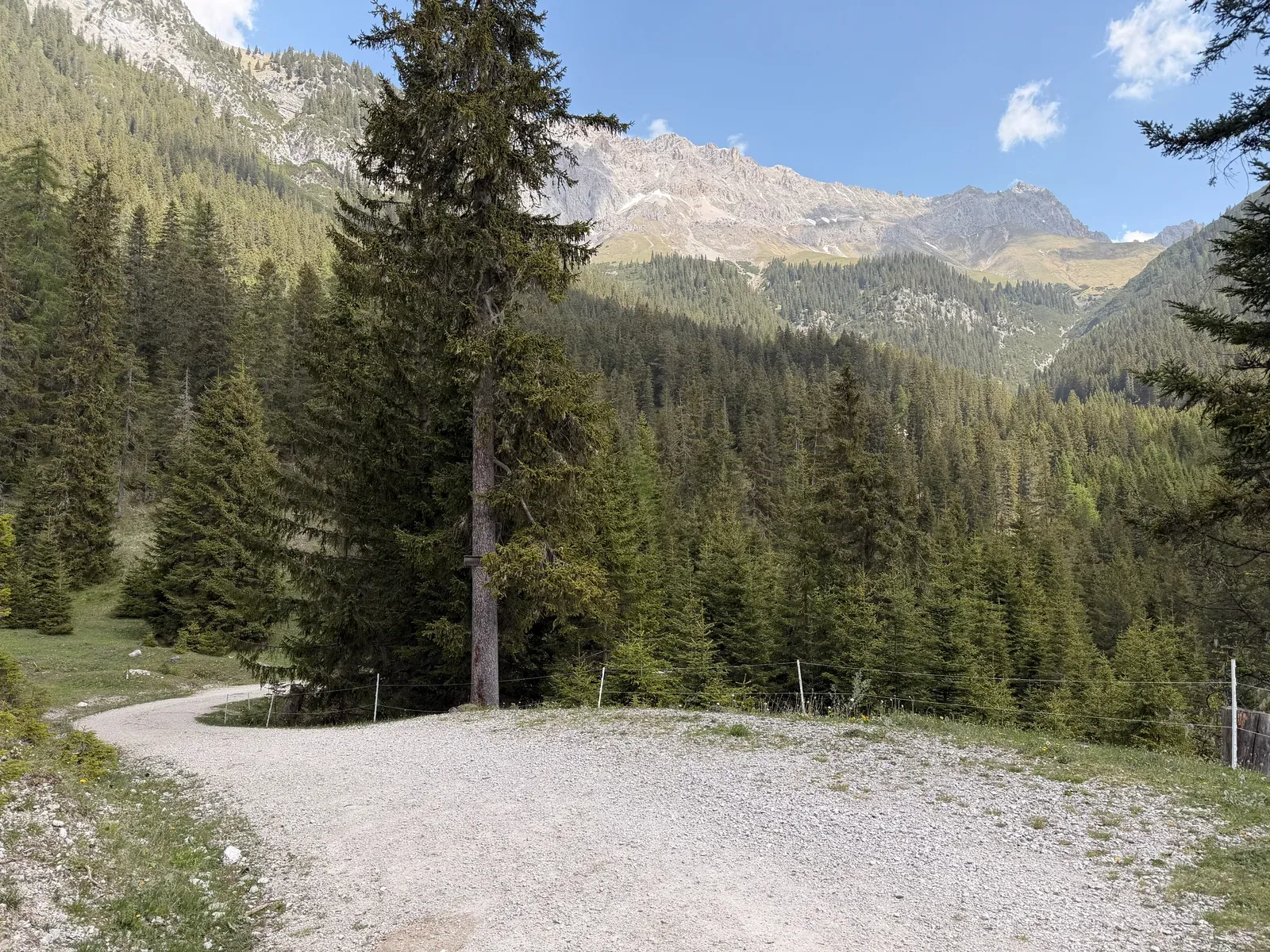
Wide forest road in the lower section after the long alpine block.
Narrow forest trail with rocks and roots, a return to clearly more technical ground.
Earthy singletrack in dense forest with soft, shaded ground.
Forest junction on a runnable trail section.
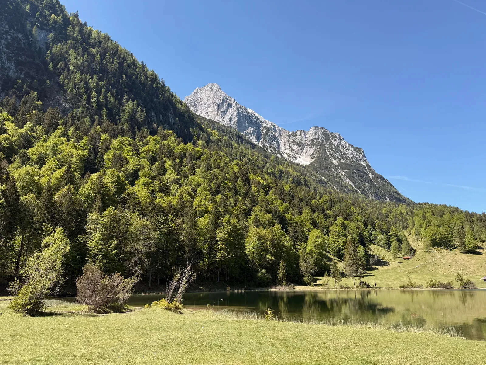
Quiet lake section with views of the Wetterstein mountains.
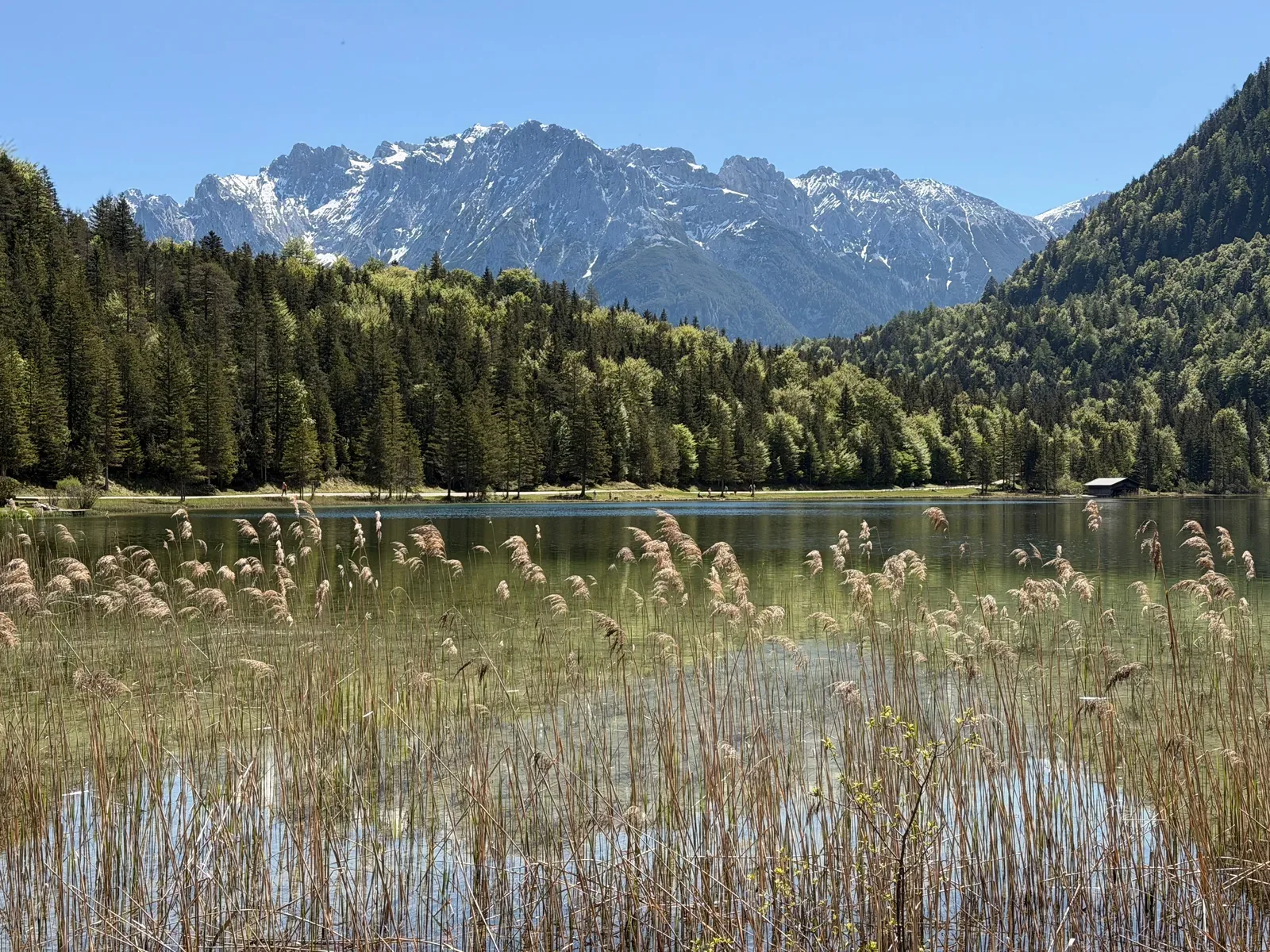
Lakeside path with reeds and views of the surrounding peaks.
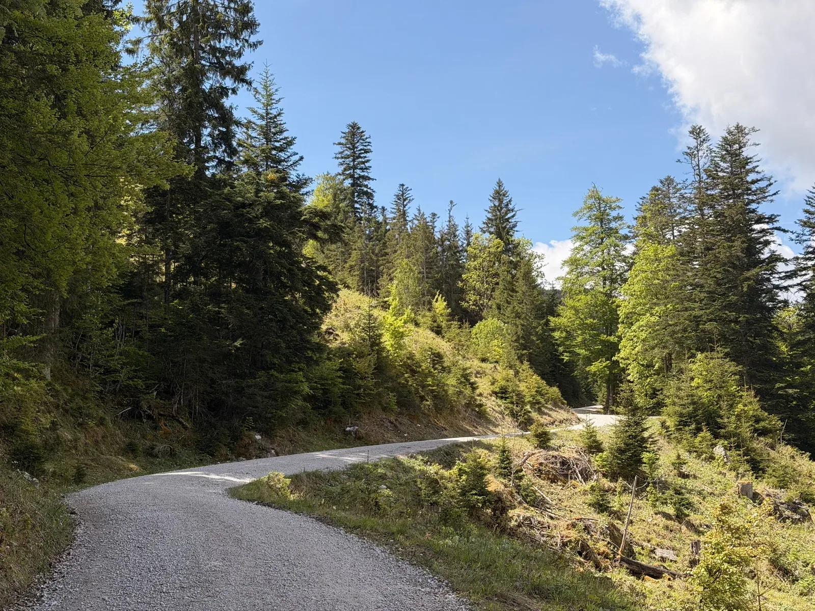
Gravel road in the forest, a faster section after the technical trails.
Wide forest road with a gentle climb and good runnability.
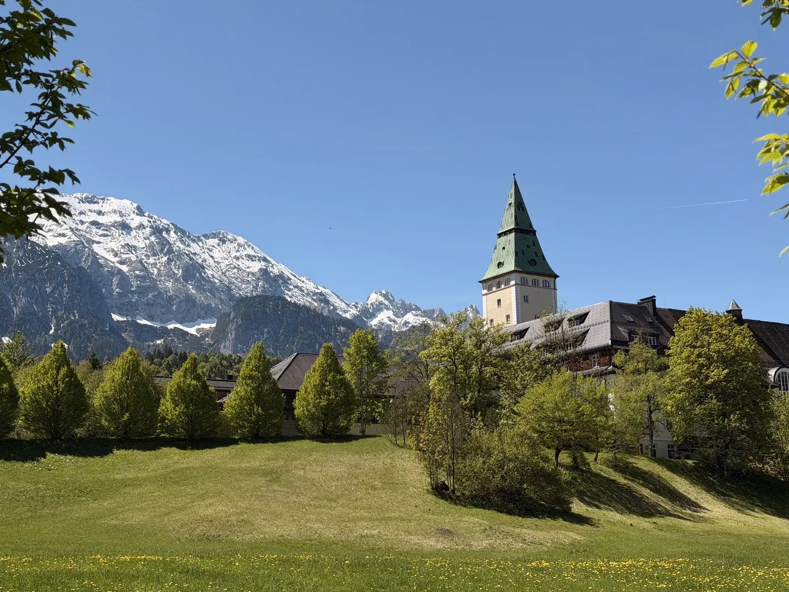
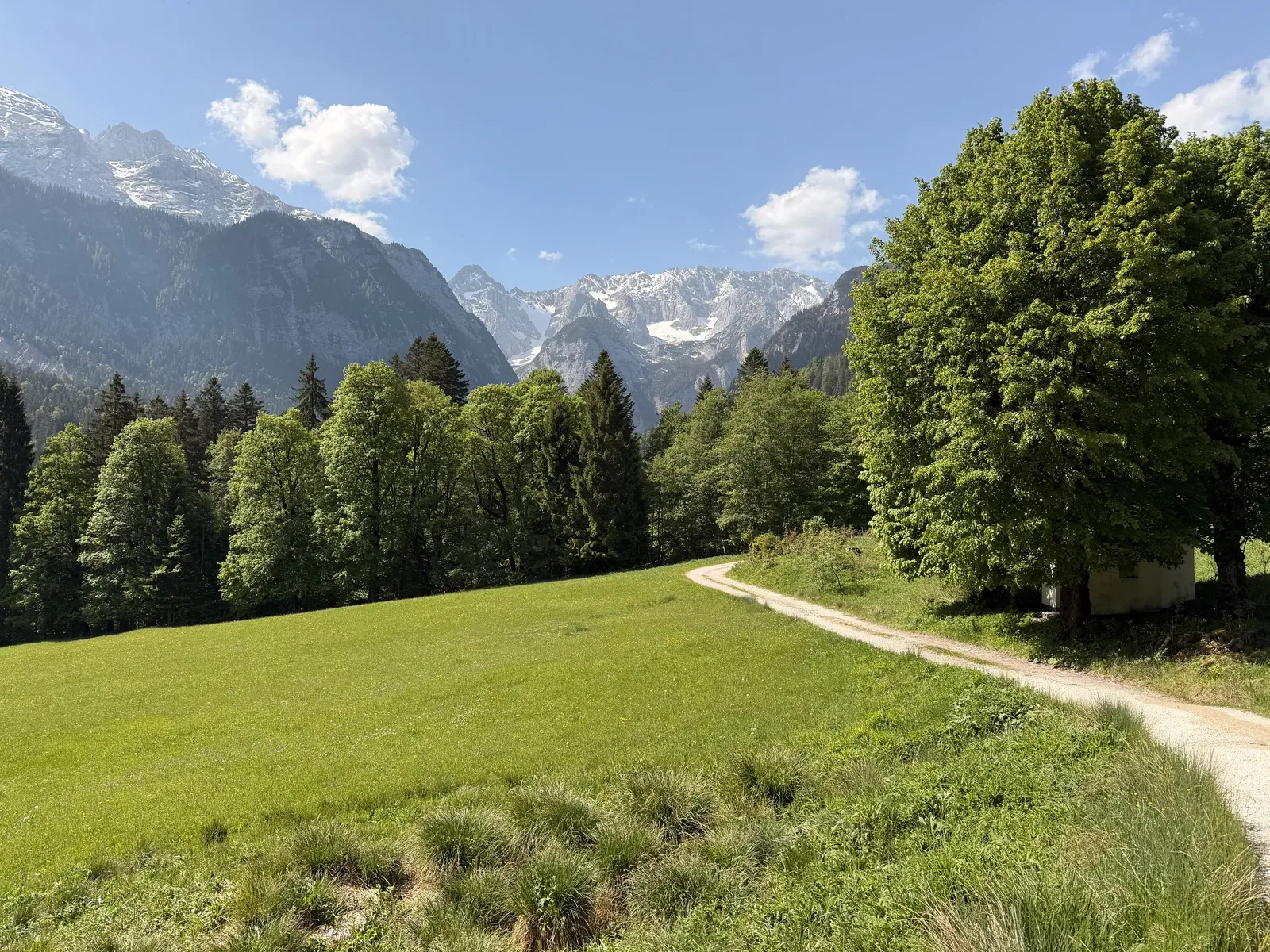
Meadow section near Schloss Elmau with Wetterstein views before the course returns to the forest.
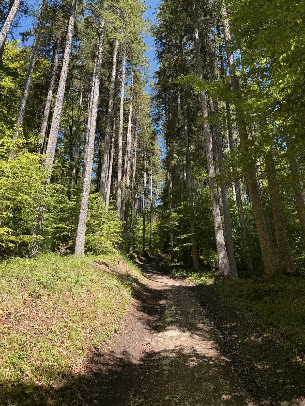
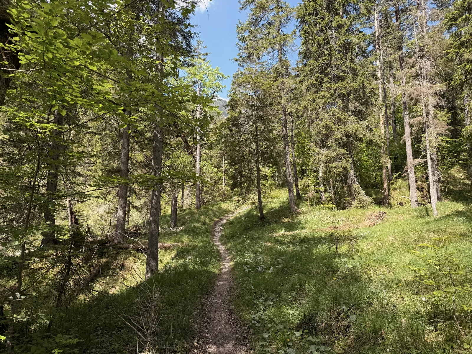
Narrow forest path on soft ground between tall spruce trees.
Wide gravel road through open alpine pasture, good for settling into rhythm.
Forest road with shade and firm ground in the later section of the course.
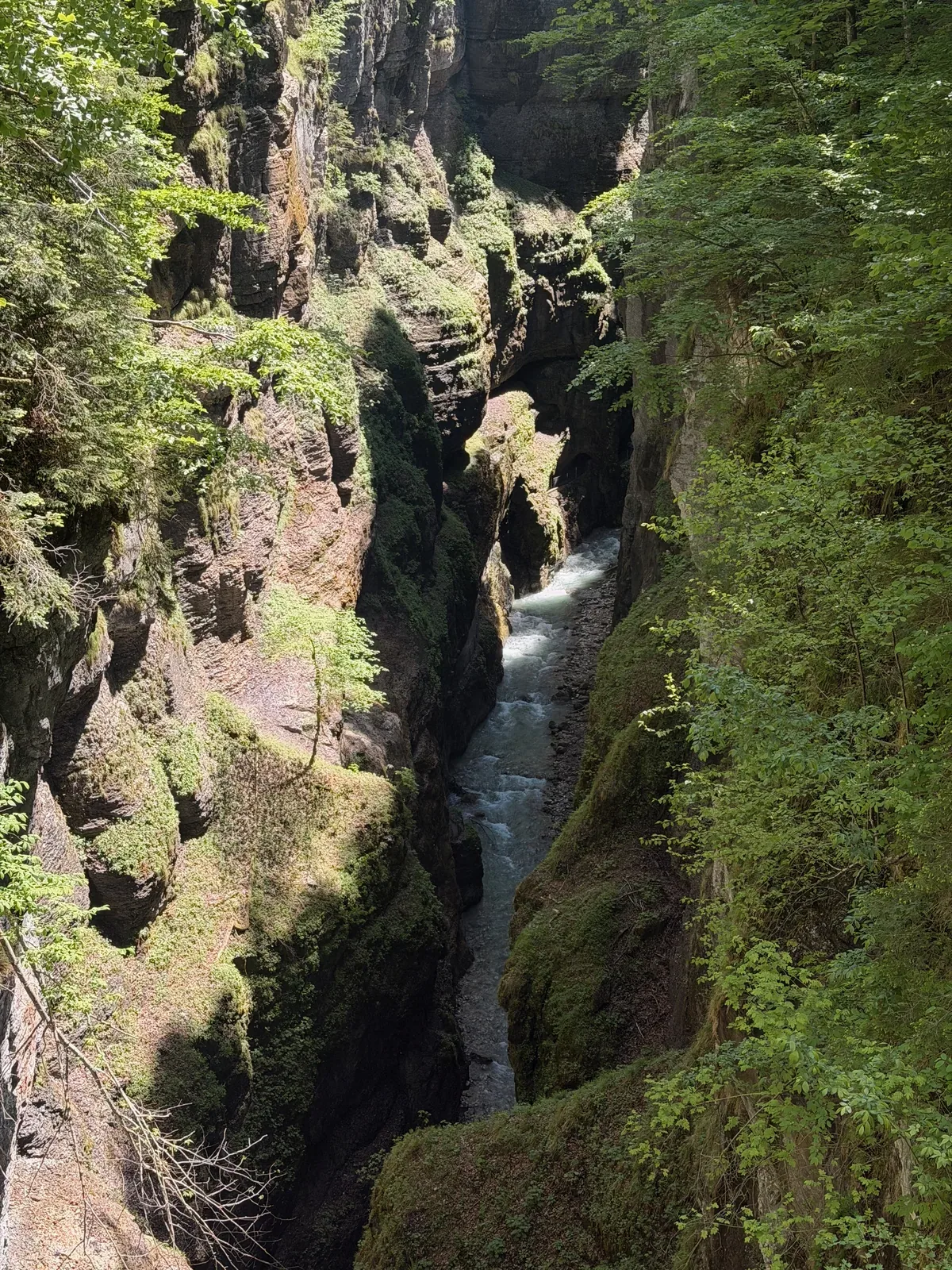
Partnachklamm with a narrow rock passage, running water and damp ground.
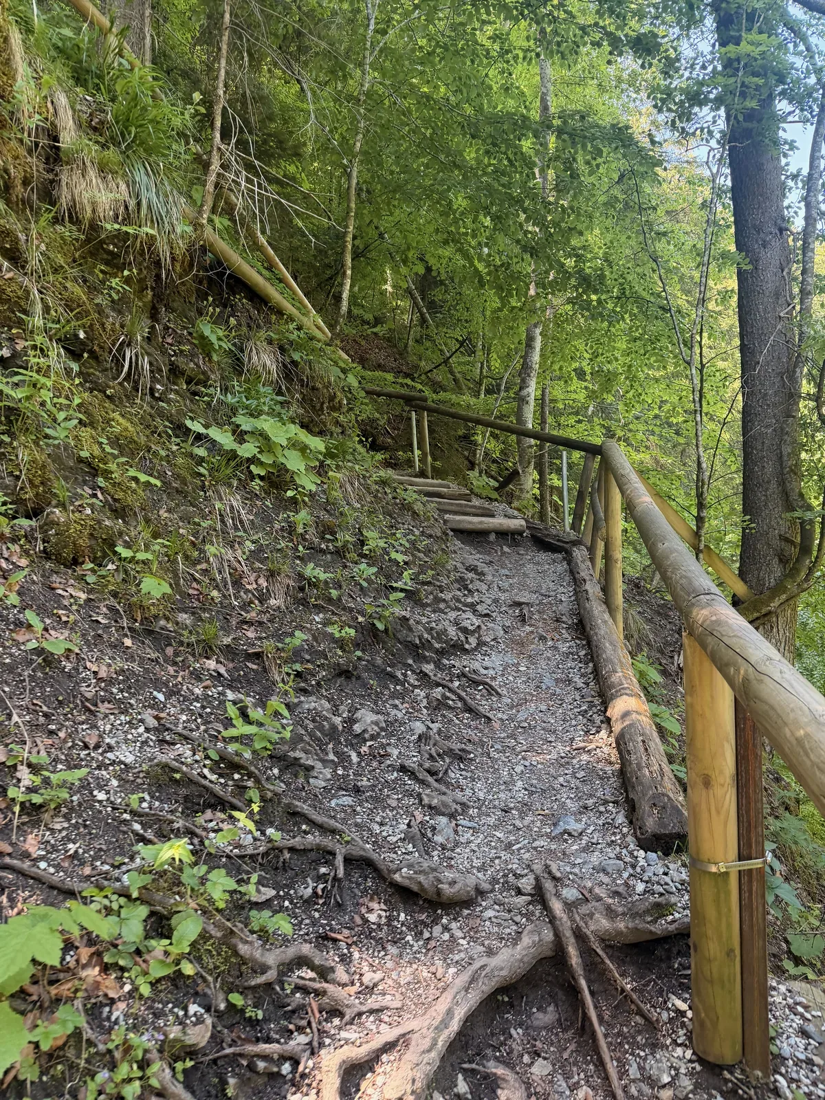
Narrow boardwalk path in the Partnachklamm, where the pace naturally slows.
Wide forest road in the forest after the gorge section.
Runnable forest road along the stream before the next technical section.
Gravel road with a small stream on the right side of the course, useful for cooling down on hot days.
Narrow forest trail on soft ground between trees and rocks.
Rooty trail in open forest, a section for short, clean steps.
Narrow forest path on a hillside with rocks and roots.
Alpine basin with snowfields and views of the rock walls in the final third.

Passage between rock walls on the high alpine path.
Patches of snow and gravel in alpine terrain above the treeline.
Steep gravel descent with a wide view into the valley toward Garmisch-Partenkirchen.
Narrow mountain trail through dwarf pines with views of the surrounding peaks.
Snowfield crossing in the late alpine section of the ZUT 107K course.
Meadow path above Garmisch-Partenkirchen with a look back toward the Wetterstein mountains.
Wide forest and meadow road on the final kilometres back to Garmisch-Partenkirchen.
Turn the course read into a segment-by-segment plan
The photos show the decisive spots. The Race Strategy Guide turns them into concrete decisions for pace, terrain and timing across the full distance.
- the critical snow and high sections as a pace and line plan
- the technical Eibsee-area descent rehearsed for the night
- the second half from the Partnachklamm with realistic splits
Instant download after payment · secure checkout via Paddle
Race day: Zugspitz Ultratrail, 19 June 2026
